Monday’s national forecast – The last heavy rain day for Canterbury (+10 maps)
30/05/2021 4:00pm

> From the WeatherWatch archives
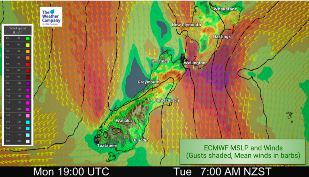
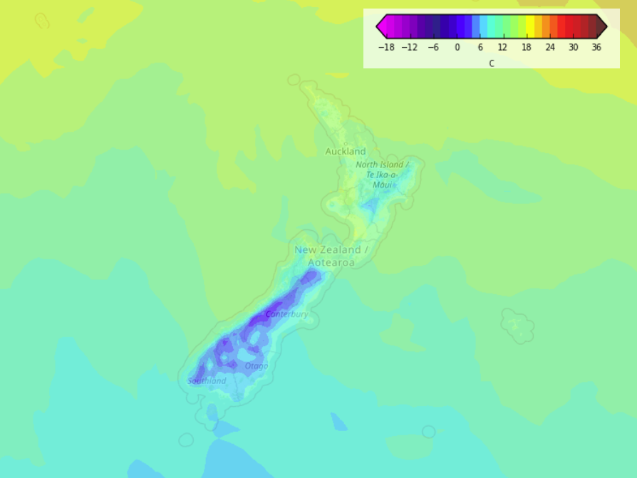
UPDATED 7:19am — A large low pressure system moves off to the east today with a southerly airflow moving around it flowing over New Zealand.
Please refer to your local, hourly, 10 day forecast for more details.
North Island
Heavy isolated showers with possible thunderstorms and hail about Northland and Auckland then easing this afternoon. Showers turn to rain this morning for Wellington, perhaps easing back to showers later this afternoon then rain again overnight. Showers move into Taranaki this afternoon. Dry this morning in the east, perhaps some sun then cloud and a few showers develops this afternoon with winds tending to the south. Waikato and Bay Of Plenty may stay fairly dry today but showers are closely lurking by so a few could move through for a brief time, this evening showers pick up about the Waikato.
South Island
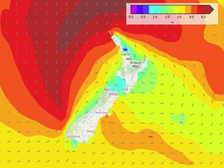
Dry for the West Coast and about Nelson with high cloud. Cloudy in the east with showers. Rain for Canterbury through to southern Marlborough, heavy at times north of the Rakaia River especially inland then finally easing from this evening, winds cold from the south. Snow above about 800 to 900m.


Latest Video

More eastern rain, but a drier long weekend coming
Rain continues today along the eastern South Island and lower North Island, coming in from the east with heavy falls….
Related Articles
More eastern rain, but a drier long weekend coming
Rain continues today along the eastern South Island and lower North Island, coming in from the east with heavy falls….

More heavy rain, snow – but large dry areas, especially as we go into the long weekend
Heavy rain will continue for parts of Canterbury and Marlborough over the next day or two and it will gradually…

Large low brings rain, downpours & some snow – gets colder as the week progresses
Low pressure will cross the upper North Island in the days ahead and that set-up actually pushes more heavy rain…

