> From the WeatherWatch archives
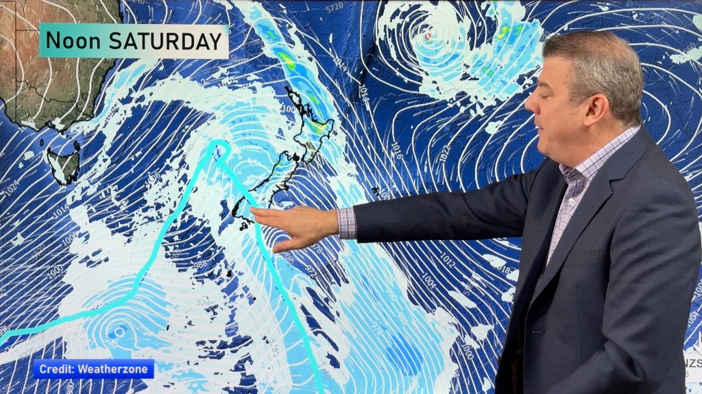
A large anticyclone in the Tasman Sea spreads over New Zealand today bringing mainly settled weather, not totally cloud free for all however.
North Island
Any morning cloud about Northland, Auckland, Waikato and Bay Of Plenty breaks to mostly sunny weather. Winds from the southwest for most, tending northerly in the afternoon for the Bay Of Plenty. Morning cloud for Taranaki down through to Wellington in the west breaks then becoming mostly sunny, south to southeasterly winds. Cloud breaks in the afternoon for Wairarapa. Becoming cloudy early in the morning for Hawkes Bay and Gisborne, chance of a light shower or two otherwise mainly dry, winds from the south or southeast.
South Island
Mostly sunny for most of the South Island, some morning cloud for Otago Peninsula through to Marlborough in the east then breaking away. West to southwesterly winds in the west, east to northeasterly winds in the east become breezy in the afternoon, especially for coastal Canterbury.
Temperatures
Temperatures in the low to mid twenties for the western and upper North Island, reaching into the high twenties about some inland areas Lake Taupo northwards. Temperatures reaching into the high teens or perhaps early twenties for the east coast with southerly winds.
Temperatures in the high teens or early twenties for most of the South Island, the warmest temperatures being about inland Buller / inland Central Otago.
By Weather Analyst Aaron Wilkinson – WeatherWatch.co.nz
Comments
Before you add a new comment, take note this story was published on 24 Nov 2019.


Add new comment