> From the WeatherWatch archives
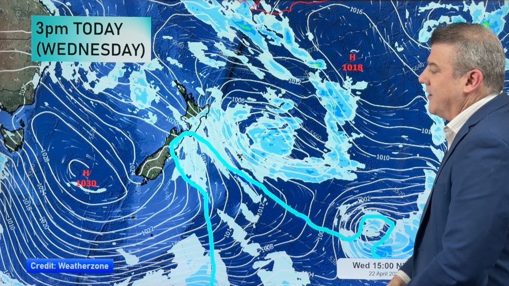
A slack pressure gradient brings the risk of some unstable weather for the upper North Island this afternoon meanwhile a series of fronts push northwards over the South Island during the day.
Northland, Auckland, Waikato & Bay Of Plenty
Areas of cloud, a few showers about too, especially this afternoon / evening where some may become heavy with the risk of a thunderstorm then clearing later on. Light easterly quarter winds tend west to southwest later in the afternoon or evening. Northland stays fairly dry, just the risk of a PM shower.
Highs: 23-25
Western North Island (including Central North Island)
Sunny spells, the odd shower mainly from afternoon then clearing in the evening. West to northwesterly winds.
Highs: 20-24
Eastern North Island
Mostly sunny, late afternoon / evening isolated showers may develop for Hawkes Bay and Gisborne, perhaps even a heavy fall then clearing later on.
Highs: 25-28
Wellington
Cloudy areas, chance of a morning shower. Brisk to strong northwesterly winds.
High: 22
Marlborough & Nelson
High cloud, may be a shower around late morning or midday then high cloud breaks away this afternoon, gusty northwesterly winds.
Highs: 24-26
Canterbury
Some high cloud with northwesterly winds, in the evening a few showers may move into coastal Canterbury Banks Peninsula southwards with a southwest change.
Highs: 26
West Coast
Morning rain then patchy showers, fresh westerly winds.
Highs: 15-18
Southland & Otago
The odd spit possible then rain moves into Southland late morning, Otago during the afternoon. A round of heavy showers moves through later in the evening / overnight. Brisk to strong westerly winds develop.
Highs: 13-20
By Weather Analyst Aaron Wilkinson – WeatherWatch.co.nz
Comments
Before you add a new comment, take note this story was published on 4 Feb 2018.


Add new comment