
> From the WeatherWatch archives
The large high over much of New Zealand is bringing light winds and the long calm nights are being felt in the mornings with frosts in parts of both islands again this morning or at least single digits in most centres.
While temperatures are slowly increasing this week it won’t be until the end of the week and into the weekend that you’ll notice the warmer airflow moving in.
“With a high over New Zealand it basically shuts down new airflows for a while, so we have no warm air or cold air being fed in across the country, instead the high is locking in fairly typical temperatures for late August” says head forecaster Philip Duncan.
“As the high drifts away to the east over the next 24 to 48 hours the subtropical northerly, currently waiting out in the Tasman Sea, will move in”.
WeatherWatch.co.nz says frosts, mostly light and in sheltered areas, will still affect some South Island and central/lower North Island places on Thursday but by Friday the subtropical low should be moving in making most places frosts free – although it may still be fairly cold for some places first thing.
Over the weekend overnight lows will be above freezing nationwide with some even back into the double digits.
August has had no major nationwide southerly blasts and looks like it will end without one too – maybe even ending on a calm note with another high rolling in.
Quick Tips:
- Windy weather may make for cooler days but it lifts temperatures overnight and basically reduces the chances of frosts.
- Large highs (anticyclones) brings calm conditions which allows the coldest air to sink, so a higher risk of frosts or cold mornings.
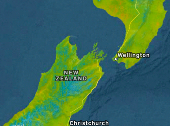
– Image / 12:45pm Weds temperature map for central New Zealand courtesy IBM/TWC
– WeatherWatch.co.nz
Latest Video

Cold weekend, frosts return with high pressure, then a low late next week
The subantarctic airflow spreads over NZ today/tonight and into Saturday, dropping temperatures nationwide. Snow flurries are possible today to lower…
Related Articles
Cold weekend, frosts return with high pressure, then a low late next week
The subantarctic airflow spreads over NZ today/tonight and into Saturday, dropping temperatures nationwide. Snow flurries are possible today to lower…

Wintry burst of weather: Snow, squally showers then sunshine & frosts
A polar change (another one!) arrives on Friday for the South Island and goes nationwide on Saturday, leaving NZ under…

Antarctic southerly for parts of NZ Fri & Sat
For the first time this year a southerly from off Antarctica is heading towards the South Island, followed by more…

