> From the WeatherWatch archives
Some rather unsettled days are on the way for this upcoming week.
Monday should be another quiet one for much of the country.
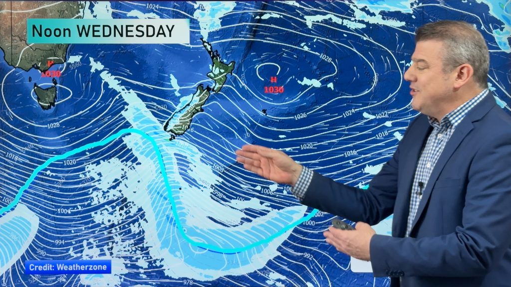
But on Tuesday, that ridge of high pressure will move far enough way to open the door for a Tasmanian low to move toward New Zealand.
We will see the flow start to turn more north-easterly. That will help to moderate our temperatures a bit. But the approach of that low will also set the stage for showers to pop up in many regions around the country. Precipitation chances will be a bit lower for the far eastern sections like Gisborne, Hawkes Bay, Wairarapa, Marlborough and Canterbury. But even these areas could see a few showers late Tuesday into Wednesday.
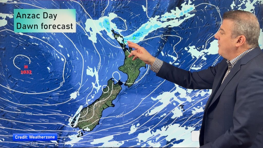
Things should settle a bit for Thursday before the next low starts to approach the country from the west.
That should be here in time to unsettle the weather for Friday, Saturday and Mother’s Day. No stormy weather is expected. However, it looks like clouds and rain chances will dominate the forecast next weekend.
By WeatherWatch Analyst Howard Joseph
Comments
Before you add a new comment, take note this story was published on 5 May 2012.


Add new comment