InfoGraphic: The Big Picture for Wednesday / Thursday
28/01/2020 6:00pm

> From the WeatherWatch archives
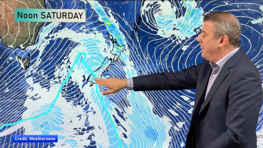
A northwesterly airflow lies over the country today, a front pushes northwards over the South Island during the day meanwhile a trough comes out of the Tasman Sea over the upper North Island. A westerly quarter airflow lies over New Zealand on Thursday, a weakening front within this flow pushes off the upper South Island in the morning then onto the western North Island from afternoon.
The odd shower for the western / upper North Island today (more so from afternoon), showers may become heavy in the afternoon about Bay Of Plenty and Northland. Mainly dry in the east however isolated showers spread into Hawkes Bay / Gisborne late afternoon then clearing overnight. Morning rain may be heavy for the West Coast of the South Island then easing to showers, mainly dry in the east. Morning spots of rain pass through the far south then dry spells develop, further showers move through again in the afternoon / evening with a southwest change.
A period of showers spreads northwards along the west coast of the North Island on Thursday, only a few showers reaching Auckland later in the evening. Dry in the east with a touch of high cloud. Early showers clear the West Coast of the South Island then sun breaks through. Showers for much of the day about Fiordland, turning to rain later in the evening or overnight and moving northwards. A dry day for the east of the South Island with some high cloud. West to northwesterly winds strengthen over the South Island during the day.

By Weather Analyst Aaron Wilkinson – WeatherWatch.co.nz
Comments
Before you add a new comment, take note this story was published on 28 Jan 2020.


Add new comment