InfoGraphic: The Big Picture for Tuesday / Wednesday
14/10/2019 6:00pm

> From the WeatherWatch archives
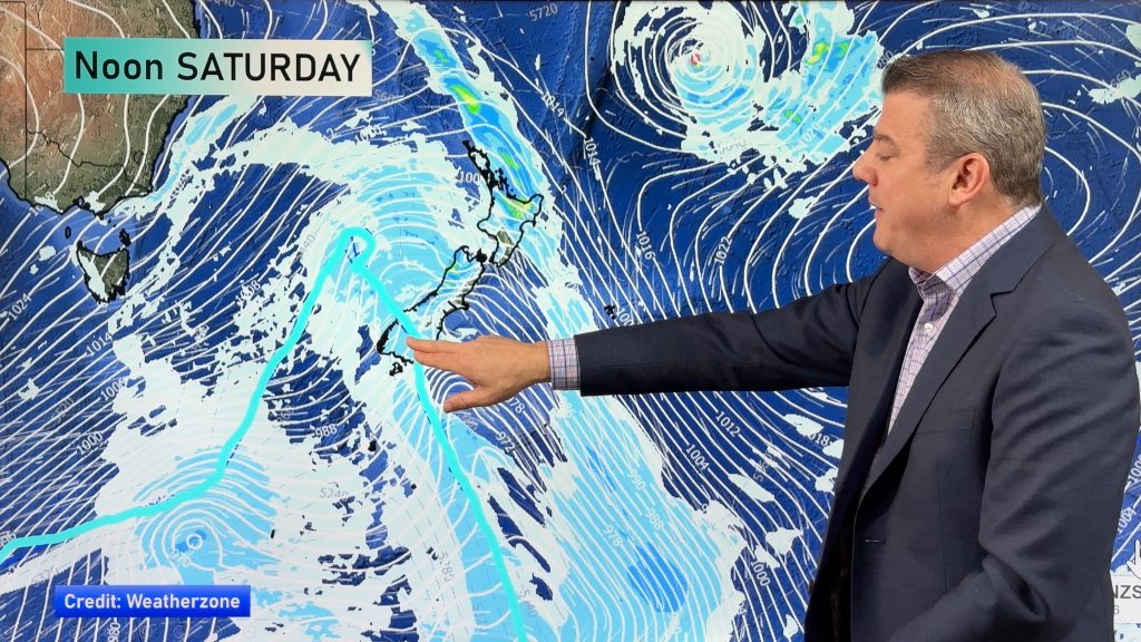
A deep low remains over Northland today, strong easterlies continue for the North Island, lighter winds further south. This low slowly moves eastwards on Wednesday letting in a south to southwest airflow over the North Island, a ridge further south brings more settled conditions.
Rain or showers for most North Island regions today, heavy rain about Bay Of Plenty becomes heavy in the east by midday then easing along the east coast later in the evening. Overnight further heavy rain moves into East Cape and possibly the Coromandel. Cloudy for the South Islands east coast with patchy rain or showers, only the odd drizzle patch by the time you get to eastern Otago. Expect a mix of sun and cloud in the west, low risk of an isolated shower about Fiordland late afternoon / evening.
Showers for most of the western North Island on Wednesday, some sun at times also. Winds from the southwest becoming strong in the afternoon for the likes of Auckland. Rain for the east coast with heavy falls then easing in the evening. Showers for the upper South Island (especially in the east) ease in the morning then dry areas increasing from afternoon. A mix of sun and cloud for most other regions, a few isolated showers move into Southland and Central Otago late afternoon / evening.

By Weather Analyst Aaron Wilkinson – WeatherWatch.co.nz
Comments
Before you add a new comment, take note this story was published on 14 Oct 2019.


Add new comment