InfoGraphic: The Big Picture for Thursday / Friday
27/02/2019 6:00pm

> From the WeatherWatch archives
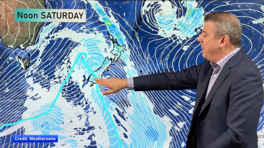
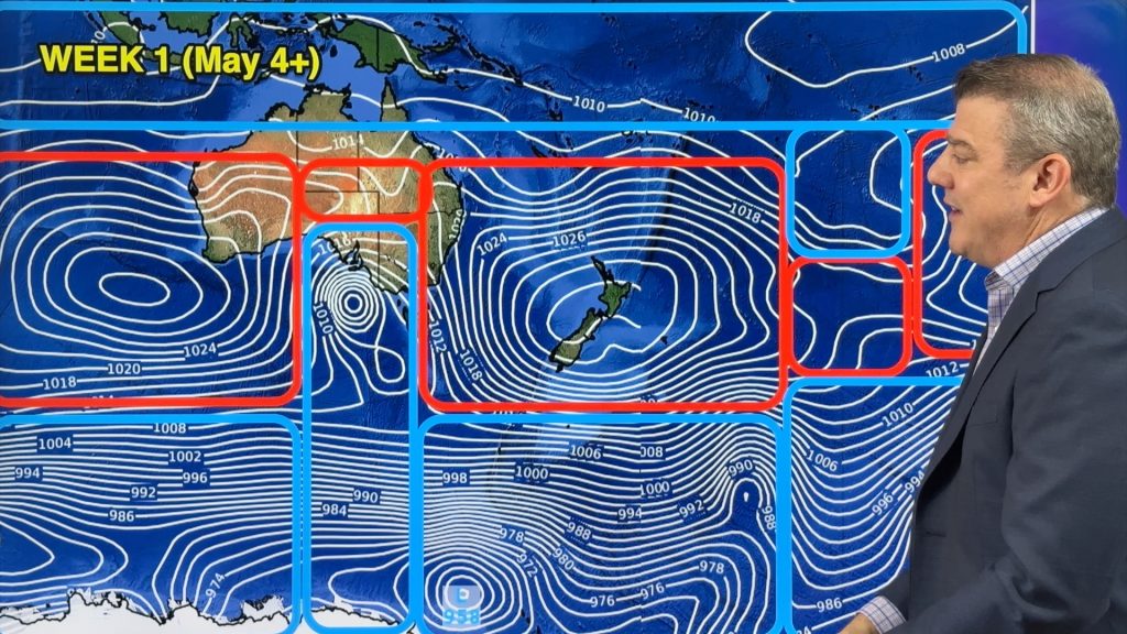
A ridge pushes onto the South Island today extending out from an anticyclone in the Tasman Sea, southerly quarter winds further north ease later in the day. A ridge lies over most of New Zealand on Friday bringing mainly settled weather.
A mix of sun and cloud for the upper North Island today, there could be a shower or two in the west in the morning. Showers for the eastern North Island ease from afternoon, some sun then breaks through. A few showers for the eastern and southern South Island clear away by midday then sun increases, mostly sunny for the West Coast. There may even be a light morning frost to start the day for inland areas.
Mostly sunny for a majority of the North Island on Friday, Auckland and Northland could see a morning shower then again from afternoon. Gisborne sees morning showers clear however cloudy areas remain. Any morning cloud for Wairarapa and Hawkes Bay clears then mostly sunny. Mostly sunny for the east and north of the South Island, perhaps a light frost to start the day for inland areas. A shower or two may move through Southland at times.

By Weather Analyst Aaron Wilkinson – WeatherWatch.co.nz
Comments
Before you add a new comment, take note this story was published on 27 Feb 2019.


Add new comment