InfoGraphic: The Big Picture for Thursday / Friday
26/02/2020 6:00pm

> From the WeatherWatch archives
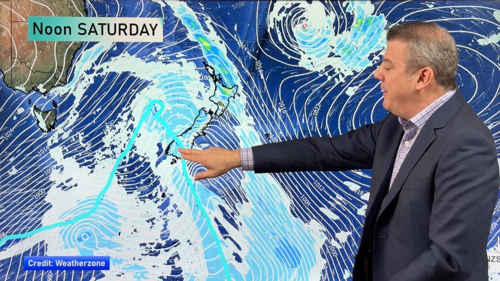
A front moves onto the southwestern corner of the South Island on Thursday, a ridge of high pressure further north. This ridge continues to bring mainly settled weather to the North Island on Friday meanwhile frontal activity brings heavy rain to the West Coast of the South Island and dry weather out east.
Mostly sunny then a few afternoon clouds for the upper North Island today, could be an isolated shower late afternoon / evening for a few inland areas or about some hills / ranges otherwise mainly dry. Mostly sunny for the lower North Island, some high cloud. Cloudy for the West Coast of the South Island, some drizzle for most, heavy rain moves into Fiordland this morning. Mainly dry with some high cloud in the east, a few brief showers develop about Southland in the afternoon.
Mainly settled for the North Island on Friday, any morning cloud breaks away. Risk of an isolated shower for Northland late afternoon / evening. Rain for the West Coast of the South Island is heavy at times, mainly dry in the east with some high cloud. Later in the evening / overnight some rain moves into Southland then a few showers for Otago with a southwest change.

By Weather Analyst Aaron Wilkinson – WeatherWatch.co.nz
Comments
Before you add a new comment, take note this story was published on 26 Feb 2020.


Add new comment