InfoGraphic: The Big Picture for Saturday / Sunday
6/09/2019 3:00pm

> From the WeatherWatch archives
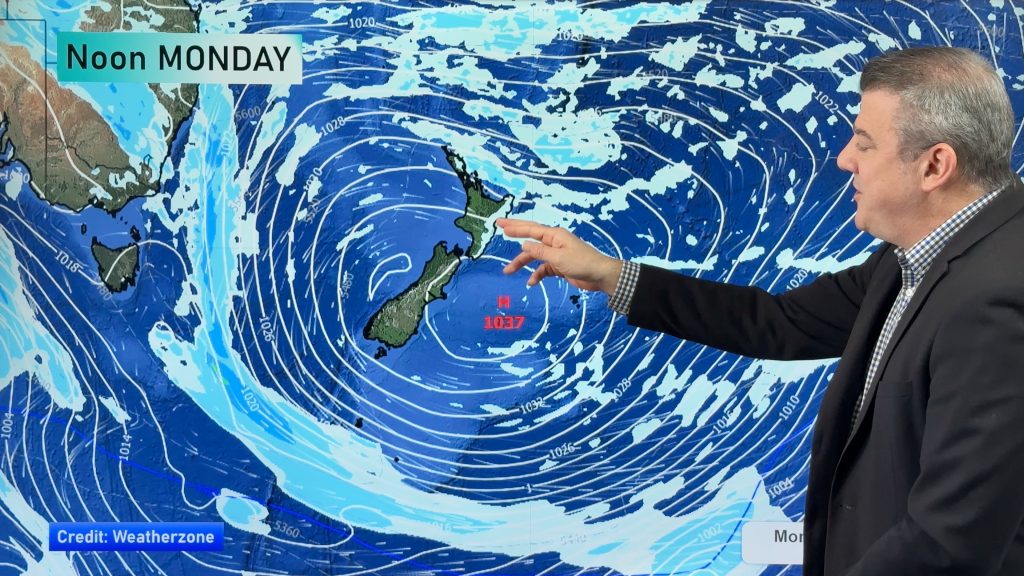
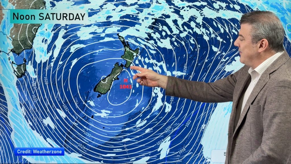
Cold southwesterlies ease over New Zealand on Saturday. Overnight a low pressure system and front charge in from the Tasman Sea towards and over the upper North Island, southerlies for the South Island on Sunday.
Showers for the upper and western North Island ease Saturday with sunny spells gradually, southwesterlies ease in the evening. Morning showers clear on the east coast then sunny areas increase. Overnight a front moves in from the west bringing rain to most of the western and upper North Island. The South Island has a few showers around the edges otherwise expect areas of cloud to break to some sun as the day moves along. A frosty start about Central Otago and inland Buller.
Morning rain for most of the western North Island on Sunday then easing to showers and a few sunny spells, winds from the west or northwest. Along the east coast and about Wellington conditions may be dry to start then rain or showers develop during the afternoon. Rain moves into Nelson and Marlborough in the morning, may be a few heavy falls then easing from afternoon. Snow lowers to 500m, perhaps 400m for Marlborough. Canterbury is cloudy and cold, patchy rain or drizzle with southerly winds. Snow flurries lower 300m in the afternoon, perhaps lowering to 100m by evening but by then shower activity will have eased and any flurries will be minimal.
A few light morning showers and possible low level snow flurries (100 to 200m) for Southland and Otago then drying out, conditions staying fairly cloudy and cold with southerly winds. The West Coast has a mainly sunny day however north of about Gerymouth expect some rain with easterly winds, easing in the evening.

By Weather Analyst Aaron Wilkinson – WeatherWatch.co.nz
Comments
Before you add a new comment, take note this story was published on 6 Sep 2019.


Add new comment