InfoGraphic: The Big Picture for Monday / Tuesday
24/11/2019 6:00pm

> From the WeatherWatch archives
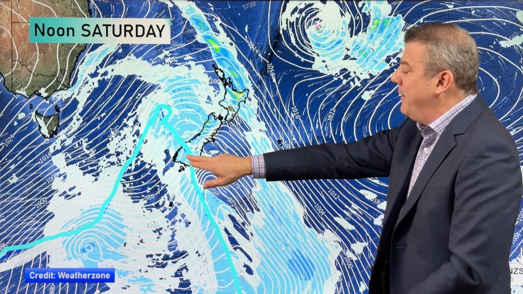
A large anticyclone in the Tasman Sea spreads over New Zealand today bringing mainly settled weather, not totally cloud free for all however. A northwesterly airflow builds over the South Island on Tuesday, a ridge of high pressure lies over the North Island.
Mostly sunny for the upper North Island today, there may be some early morning cloud that then breaks away. Morning cloud for the lower western North Island and Wellington breaks to a mostly sunny afternoon. Cloud breaks to sunny spells in the afternoon for Wairarapa. Cloud develops early in the morning for Hawkes Bay and Gisborne bringing the risk of a shower or two, mainly dry otherwise, winds from the south. Mostly sunny for most of the South Island, a cloudy start for eastern regions however then breaking to become mostly sunny by midday.
Mostly sunny for the upper North Island again on Tuesday, areas or low cloud or fog possible however in the morning then clearing. Morning cloud in the east breaks to a mostly sunny afternoon, east to northeast winds. Mostly sunny for the lower western North Island with some high cloud. Cloudy for South Westland, some rain or showers about Fiordland. North of about Greymouth sees sunnier skies. Sunny areas and some high cloud in the east.

By Weather Analyst Aaron Wilkinson – WeatherWatch.co.nz
Comments
Before you add a new comment, take note this story was published on 24 Nov 2019.


Add new comment
Guest on 24/11/2019 7:03pm
funny how the north island gets a double whammy and the same places that were wet at the start of the year are wet again JUST PLAIN NASTY
Reply