High pressure sets in – The Big Picture on Tuesday
18/04/2016 5:00am

> From the WeatherWatch archives
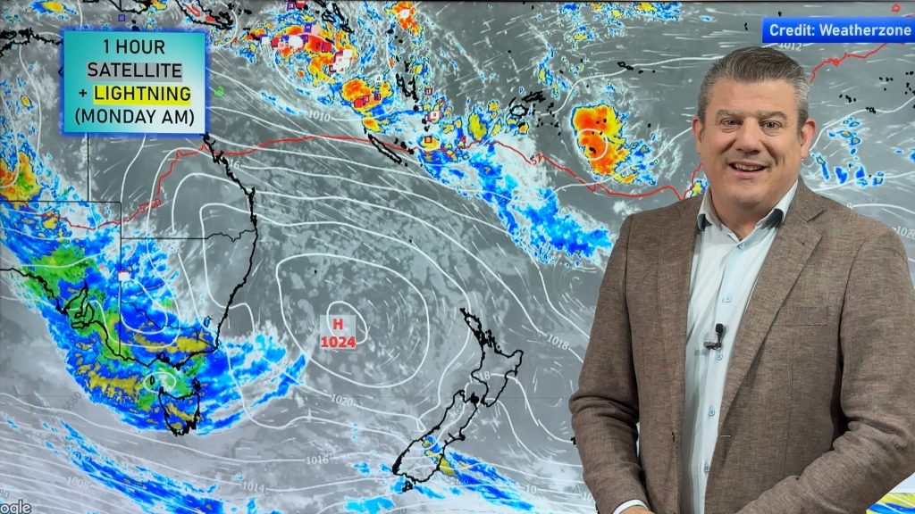
A high covers most of New Zealand – meaning we’re looking forward to some fairly settled weather in the next couple of days!
The only notable weather of sorts occurring at all is around the periphery of this high – meaning Northland (and Southland at the other end), may see some cloud and the odd shower at some point during the day.
A southeasterly airflow affects the upper North Island, while a westerly airflow sits about the lower South Island.
The eastern North Island will see some morning cloud, and a chance of drizzle – then some sun breaks through from afternoon onwards.
Northland sees cloudy skies and the odd shower during the day, with east to southeasterly winds.
Auckland sees morning cloud, while the chance of an early shower persists here too – then sunny areas increase.
The South Island is fairly sunny, while there’s just a touch of high cloud about Southland and Otago.

– Aaron Wilkinson & Drew Chappell, WeatherWatch.co.nz
Comments
Before you add a new comment, take note this story was published on 18 Apr 2016.


Add new comment