High pressure blocking showers/rain for northerners + NZ’s 7 day rain forecast (+8 Maps)
15/11/2020 9:30pm

> From the WeatherWatch archives
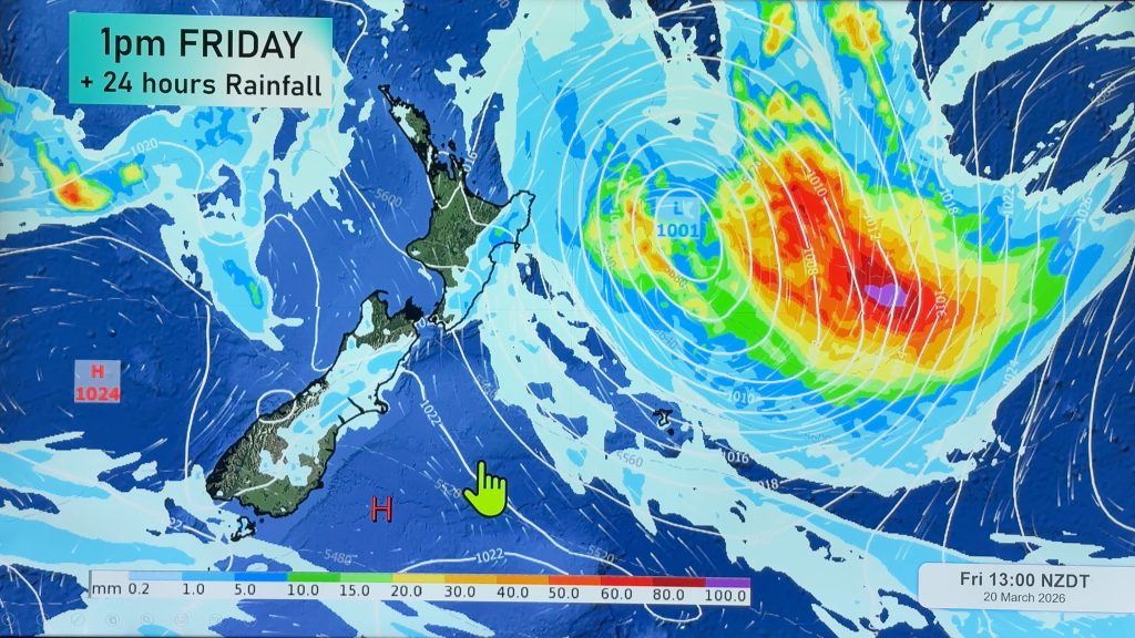
A strong belt of high pressure has returned to northern NZ and the sub-tropics area and this will act as an invisible brick wall, strictly limiting rainfall chances in northern and north eastern parts of NZ.
For Auckland it’s not the best news, with more rain needed in the water catchment areas. The next 7 days in Auckland, along with the majority of the North Island, will have below normal rainfall for this time of year even though a few showers are forecast.
As rain clouds move into high pressure they fall apart, or turn more to drizzle. It can be tricky forecasting rain bands moving in to high pressure especially coupled with our mountains and ranges, so to get a better sense of how much rain is coming (as the chance of rain may be high, but the amount of rain may not be), please refer to your local HOURLY forecasts, or visit www.RuralWeather.co.nz.
Meanwhile the West Coast, especially south of Hokitika, has heavy rain coming. Over the next 7 days northern areas, like Westport, look to get up to 40mm while further south of the glaciers the totals increase up to about 150mm, or more. Some of this rain will spillover into Southland, Otago and Canterbury coupled with a southerly change for a time – with totals anywhere from just 10mm to 45mm.
Northland, Auckland and Coromandel will have the lowest rainfall totals over the coming week. As we said last month, La Nina is only moderately strong so it doesn’t guarantee an immediate change to rainmakers in New Zealand.
MAIN WET DAYS COMING UP NATIONWIDE:
- This Tuesday/Wednesday this week (generally speaking – again, check your Hourly forecasts for more details on where you live as to if it’s rain or just a few showers)
- This weekend, from a weak low moving in from the south west
- Long Range – Next Wednesday/Thursday has another rain chance in both islands
High pressure and systems moving from west to east will continue to limit rainfall chances in northern areas and eastern regions.
As always, to make sense of rain forecasts in your specific area, refer to the exclusive HOURLY forecasts we have at www.WeatherWatch.co.nz and also www.RuralWeather.co.nz.


Comments
Before you add a new comment, take note this story was published on 15 Nov 2020.


Add new comment