High on the way – Tuesday’s situation & outlook
19/01/2015 4:00am

> From the WeatherWatch archives
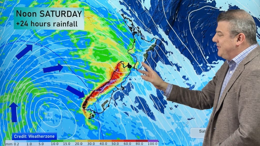
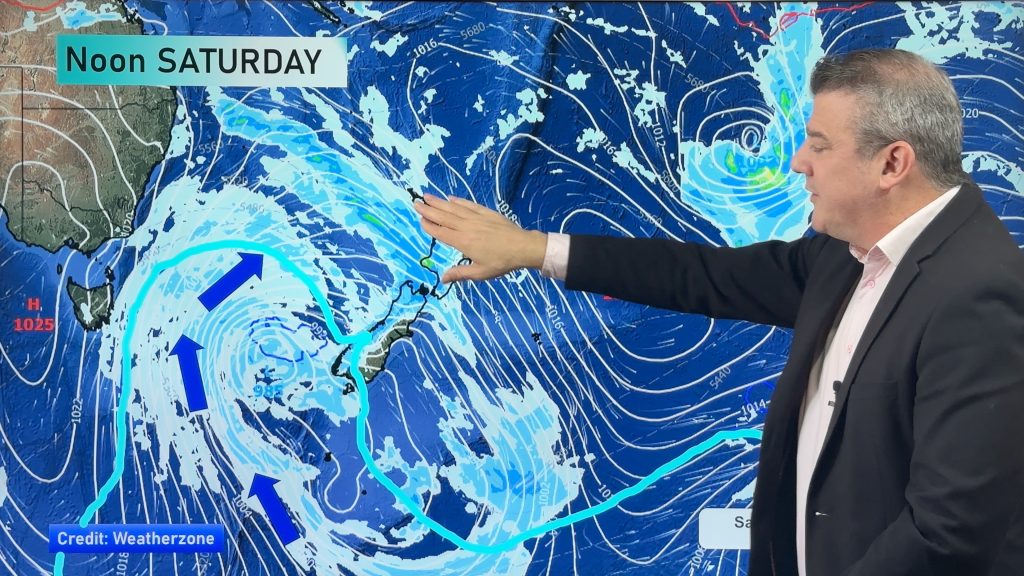
A weak area of low pressure which brought showers to some places today currently sits over the country, though a high is waiting its turn in the Tasman sea – ready to exert a calming influence on this week’s weather.
North Island
Most places look fairly sunny, with some cloud and west to southwest winds in parts.
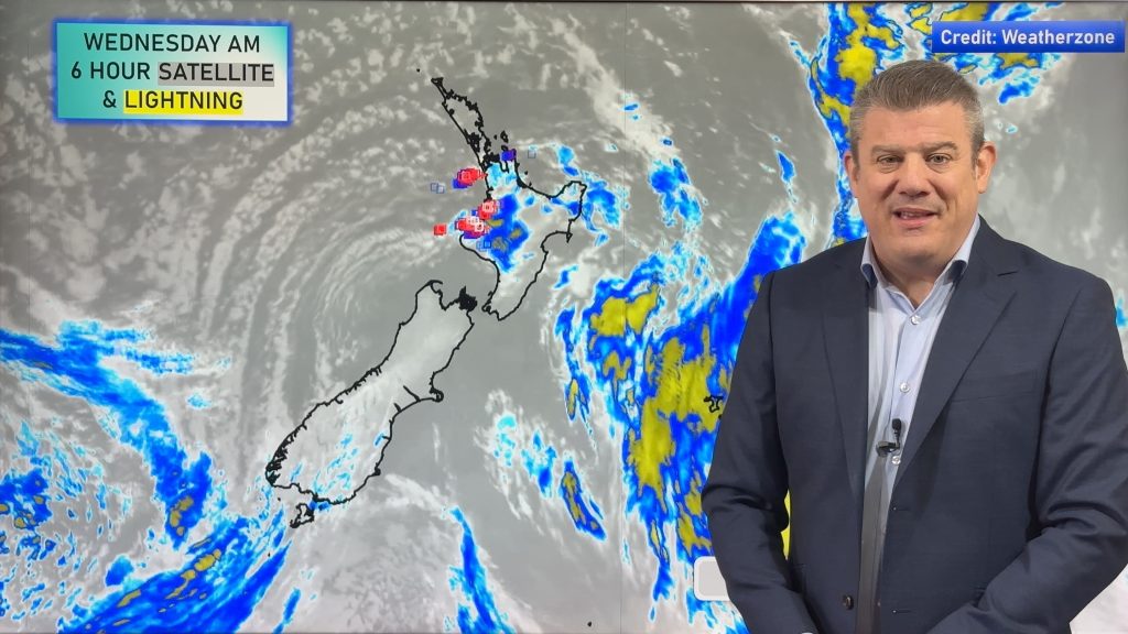
Isolated showers are in store for many regions north of Palmerston North towards late afternoon and into evening, while showers could be heavy with thunderstorms east and north of Lake Taupo.
South Island
Any early showers clear from coastal Canterbury, otherwise it’s looking mostly sunny in the morning.
A few isolated showers develop for inland areas – from Southland right up through to Marlborough, though these showers will be fairly patchy – so they may not please many farmers completely – though one or two might get lucky with an isolated heavy fall before the rain spreads eastwards towards the coast overnight.
– Aaron Wilkinson & Drew Chappell, WeatherWatch.co.nz
– Map: Google
Comments
Before you add a new comment, take note this story was published on 19 Jan 2015.


Add new comment