> From the WeatherWatch archives
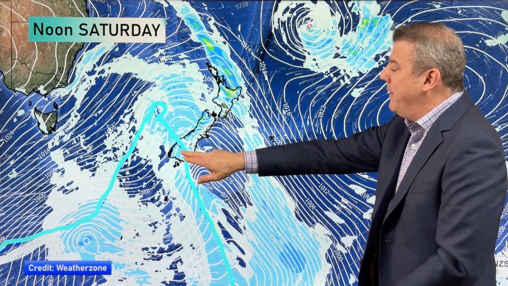
The Bay of Plenty and Coromandel regions are next in line for the sub-tropical deluge reports WeatherWatch.co.nz, as more heavy rain heads back towards Nelson, lingers over Auckland and pushes into many other northern and western regions.
“Latest satellite imagery shows Nelson could have some more heavy falls this morning, while conditions in the Far North of the North Island appear to be easing” says head weather analyst Philip Duncan.
“Now as this rain moves into Coromandel Peninsula and Bay of Plenty it’s those regions that could see slips and flooding”.
Mr Duncan says residents should remain vigilant of conditions around them and be aware of any immediate risks. “If you have a small stream or steep bank or cliff near your house, just be aware of what’s happening to them and be prepared to evacuate safely if need be”.
Meanwhile the heavy rain is set in across Auckland and should linger until afternoon, then ease slowly from the west. Torrential rain could linger around parts of the Hauraki Gulf and latest rain maps show pockets of rain intensifying over the Bay of Plenty region as the day wears on.
That afternoon intensification could lead to localised flash flooding and WeatherWatch.co.nz advises people to stay away from small creeks, streams and flood-drains today.
– WeatherWatch.co.nz
Comments
Before you add a new comment, take note this story was published on 14 Dec 2011.


Add new comment