> From the WeatherWatch archives
Heavy rain is about to descend on much of the country and WeatherWatch.co.nz forecasters are telling people in the east to make the most of it – with drier weather on the way.
WeatherWatch.co.nz says heavy rain will spread in from the north and the west with torrential falls expected in some areas. “The ranges and some parts of northern and western areas of both islands could see some fairly heavy falls later on Tuesday and into Wednesday from these two systems” says head weather analyst Philip Duncan.
“Motorists in the upper North Island, central North Island and along the entire west coast of the country should be prepared for heavy downpours with the possibility of surface flooding in some areas, especially from late Tuesday and into early Wednesday morning”.
WeatherWatch.co.nz says a few rumbles of thunder are possible over Northland, Auckland, Waikato, Taranaki and Bay of Plenty during Tuesday pm or Wednesday am – but widespread thunderstorms are not currently predicted.
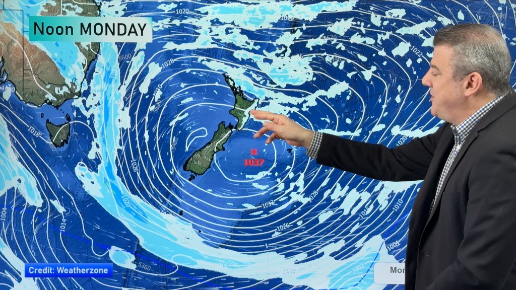
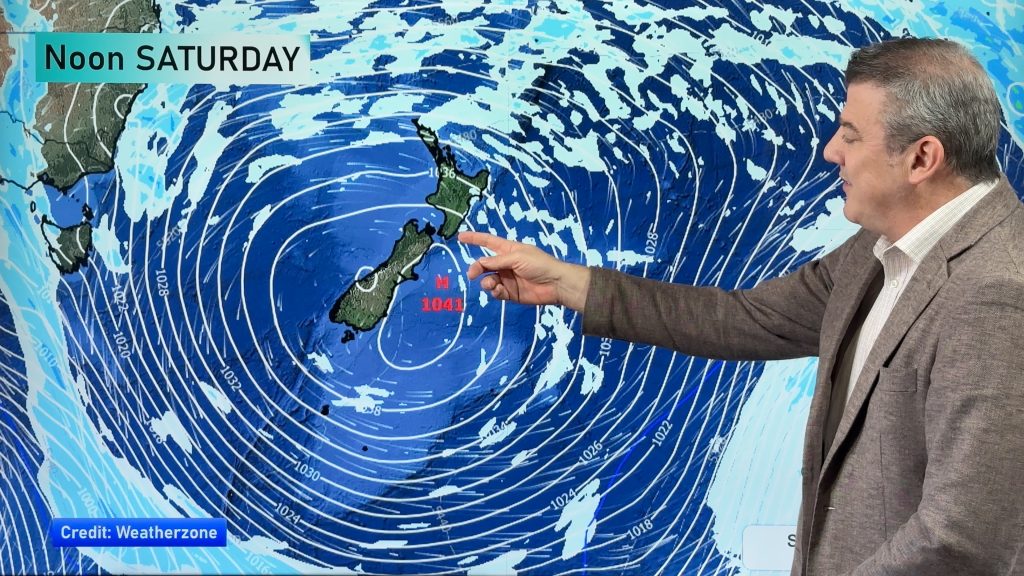
But farmers and those on limited water supplies are advised to save as much water as possible – with drier weather on the way next week. “In November we rarely get the big winter storms and the big summer rain makers are yet to develop in the north, so we often see the early signs of droughts in November – and with a big high coming for the North Island next week some areas may be entering a dry spell that could last into the third week of November based on long range modelling”.
RENA
Winds, brisk at times, will also cause problems for those working on the Rena salvage in the Bay of Plenty – but it’s the swells that will develop during Tuesday and into Wednesday that could cause the most issues to the already damaged ship – with swells of 3 metres and winds near gale force at times. Seas should calm down a little on Thursday and then flatten further into the weekend and the start of next week as a high rolls in. This new high may well give the Bay of Plenty region settled weather for 10 days.
Homepage image / File, CH Davis
– WeatherWatch.co.nz
Comments
Before you add a new comment, take note this story was published on 31 Oct 2011.


Add new comment
kylie on 31/10/2011 9:52pm
I see that metservice is warning of snow later in the week for the lower south island whats your opinion on this?
Reply
WW Forecast Team on 31/10/2011 9:57pm
Yep Friday is looking pretty cold – could be snow in Queenstown – we’ll have a story on it later today.
Cheers
– WW
Reply