> From the WeatherWatch archives
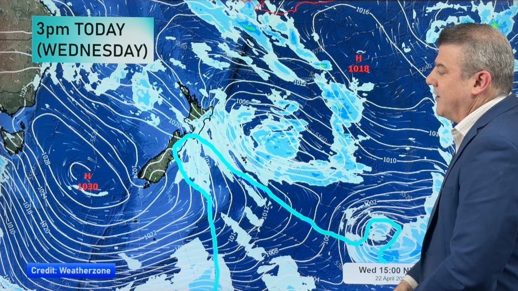
A large high remains in charge of most of the country – however it is now starting to move off to the east. That opens up a warmer northerly wind flow – especially in the South Island where an approaching front (with rain!) is slowly moving in.
Upper North Island
Winds are generally coming in from the north east. A mix of morning cloud and some mist/fog patches – then sunny and cloudy periods. Cloudier in the north east and sunnier in western areas (after any morning cloud burns up).
Highs: 23 to 26
Lower North Island
Winds will come in from the northerly quarter for the most part – some nor’east, others more north west. Hottest weather in the east – and some clouds may thicken in the west later.
Highs: 20 to 27 (27 most likely though central/inland Hawkes Bay)
Upper South Island
Sunny and hot in the east – highs pushing into the late 20s like summer for some. In the west, north of Greymouth, clouds will thicken with drizzle or showers possible later. Winds from the north west for the most part.
Highs: 20 in the west, 25 to 28 in the north and east
Lower South Island
Clouds thicken on the West Coast south of Greymouth, with rain developing in Fiordland then heading northwards later with patchy showers and drizzle turning to rain gradually (or overnight). Winds from the nor’west will bring average temperatures to the west but hotter weather for inland Southland and central Otago. Sunnier in the east and south.
Highs: 22 to 26 (inland)
– WeatherWatch.co.nz
Comments
Before you add a new comment, take note this story was published on 28 Mar 2013.


Add new comment