> From the WeatherWatch archives
Friday will start off fairly quiet and rather pleasant for most of the country.
It very likely will not end that way.
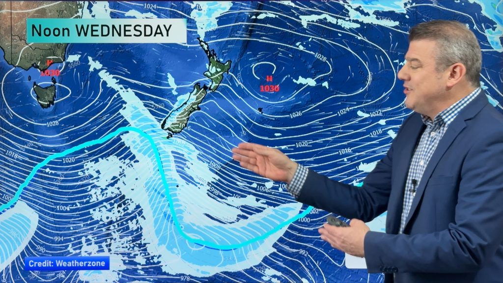
A low over the Tasman is expected to “bomb out”, a meteorological term referring to a rapid drop in the central pressure of a low (24 millibars in 24 hours). This can make these lows very intense. They can even form “eyes” like a tropical cyclone, with calm weather in the middle.
The main part of this storm is not expected to make landfall until very late tonight or early tomorrow. However, some of the early effects of this low could be felt as soon as late this afternoon or this evening. This will likely be in the form of some light rain and moderate breezes. Taranaki, Nelson, and the West Coast will likely see the first bursts of rain.
Also, a few passing showers can’t be ruled out for the coastal sections of Otago and Southland as the onshore flow kicks in with the approaching low.
Otherwise, expect a relatively settled day. There will be a little sunshine mixed in with the clouds today. Highs will be in the mid teens to lower 20’s for most regions, so not a hot day.
By WeatherWatch Analyst Howard Joseph
Comments
Before you add a new comment, take note this story was published on 1 Mar 2012.


Add new comment