> From the WeatherWatch archives
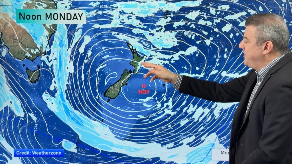
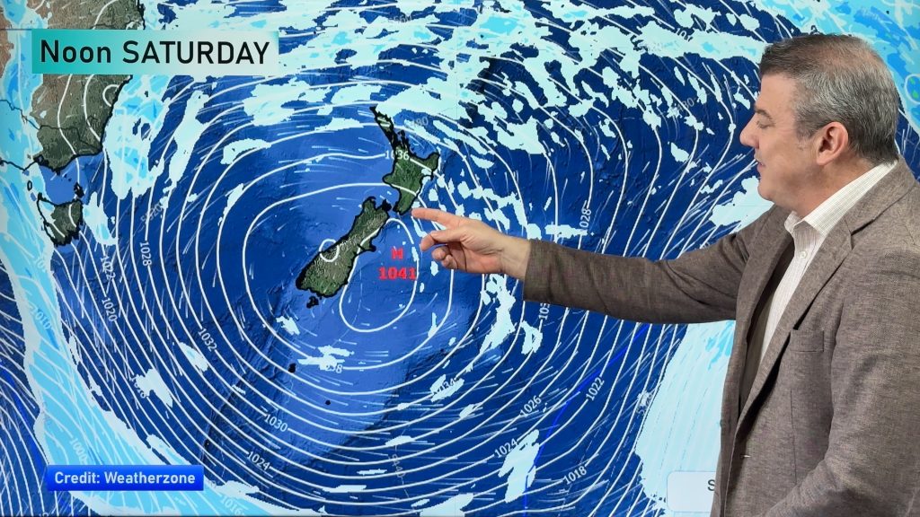
It was before the start of the Rugby World Cup since New Zealand last had a high pressure system move over us – and this week it finally happens again. A large high, currently south of Australia, is set to move across the country starting late today and not moving away until the end of the week.
It’s not the world’s biggest high but it’s enough to bring settled, calm and mild weather to most of New Zealand. The usual coastal clouds in the west and north are expected but most of the week should be sunny and dry with very little risk of severe weather.
By the end of the week the outgoing anticyclone will be working with an incoming low to produce warm winds across the country – and we may well see highs reach the low to mid 20s in the east.
For the upcoming weekend the incoming big low (which should mostly remain in the Southern Ocean) will bring strong winds and heavy rain to parts of the South Island and possibly the lower North Island. We’ll keep you posted and will update again once the models firm things up a bit more.
– Homepage image / File, Gwyn Williams
– WeatherWatch.co.nz
Comments
Before you add a new comment, take note this story was published on 25 Sep 2011.


Add new comment
Rachel Jennings on 25/09/2011 10:50pm
Hello, hows it looking for Nelson on Friday? heading up there this weekend to take in some rugby.
Reply
sw on 25/09/2011 7:03pm
Hopefully a pattern change from the SW of the last month or more and see some more interesting weather in Auckland.
Reply