
> From the WeatherWatch archives
The reign of cold, Autumn-like, daytime highs will remain over the South Island’s southern and eastern coastline centres for a few days, that’s according to WeatherWatch.co.nz’s head weather analyst Philip Duncan.
Mr Duncan says temperatures during the day will remain in the teens for most places south of Christchurch near the coast. “Cooler air brought up during the weekend isn’t moving away and no warm air is set to move in for a few more days yet. Temperatures aren’t likely to climb above 20 with centres further south, such as Dunedin, only hovering around the mid-teens”.
He says temperatures further inland should be higher, including the West Coast and northern coastlines. “They didn’t get the cold air during the weekend and certainly places inland can still heat up nicely in the hot summer sun, most likely all into the lower 20s”.
WeatherWatch.co.nz says UV levels remain extreme despite the lower temperatures and reminds people to avoid the sun during the middle of the day and afternoon.
In the North Island light rain moved into Auckland and a number of western areas but conditions should improve over the next couple of days.
However another sub-tropical low is on the way for Friday and Saturday and this low may develop into quite a rainmaker. At this stage WeatherWatch.co.nz predicts heavy rain to affect the West Coast, Nelson region, Kapiti, Manawatu, Taranaki and King Country.
“The humidity will also be on the rise again and coupled with the summer heat it may be a muggy end to the week and start of the weekend with overnight lows in northern centres around the 21 degrees mark again”.
But Mr Duncan doesn’t expect the heat to be as stifling as it was last week. “This low is going to be further south and therefore not pulling air from as far into the tropics as the last low did”.
WeatherWatch.co.nz will continue to monitor the progress of this sub-tropical low with more updates as the week goes on.
Comments
Latest Video
3/08/2026 2:07am
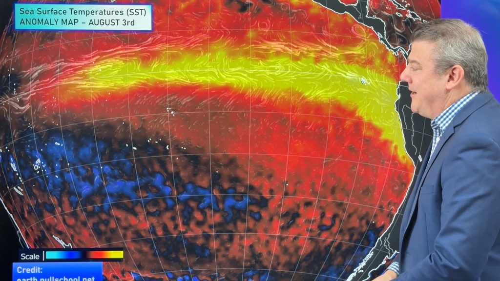
ClimateWatch: AUGUST outlook & El Niño update
El Niño continues to intensify and will do so right through to the end of our spring in NZ and…
Related Articles
3/08/2026 1:30am
Cold frosty southerly heads north, then high pressure and a weekend change
Another shot of colder air is coming for New Zealand over the next day or two, bringing frosts from the…

30/07/2026 11:11pm
Cold weekend, frosts return with high pressure, then a low late next week
The subantarctic airflow spreads over NZ today/tonight and into Saturday, dropping temperatures nationwide. Snow flurries are possible today to lower…

30/07/2026 1:13am
Wintry burst of weather: Snow, squally showers then sunshine & frosts
A polar change (another one!) arrives on Friday for the South Island and goes nationwide on Saturday, leaving NZ under…


Laura on 16/02/2009 10:30pm
up in the bay of Islands – what’s it shaping up like? My mum is over visiting and she seems to have this power that makes it sunny!
WW Forecast Team on 17/02/2009 10:23am
Hey Laura,
Looks like our friendly Tasman Sea high will return – as our current forecast shows mostly sunny conditions with SE winds all week. SE winds are generally cooler for you so expect highs in the mid 20s with low humidity. Sounds good to me!
Cheers
Phil
LJ on 17/02/2009 7:25pm
whoo hoo! Honestly I think my mum is a weather witch! She’s not seen rain here :O)
Mark Thomas on 16/02/2009 6:16pm
Currently 5 degrees at the moment here in Christchurch and we had an overnight low of 4!!! Bring back this warm weather soon!! I would prefer overnight lows of 20 then shiver in 4. It really is a clear winters morning here today. Im guessing this is a lot to do with no morning cloud that had been forecast dropping the temp due to clear skies.