
Cold front heads north, high pressure struggles to reach NZ
10/09/2026 12:56pm
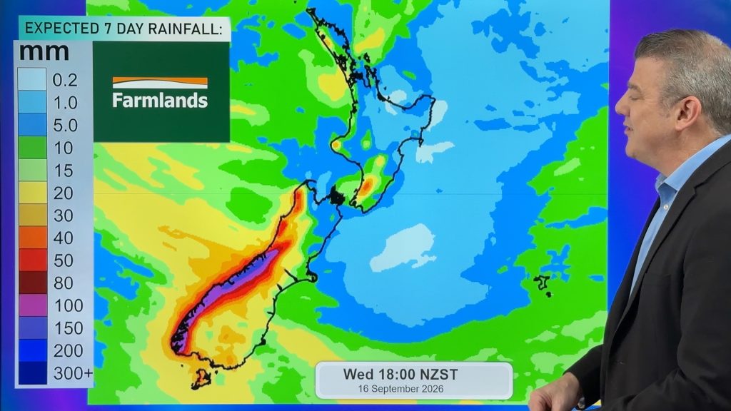
A burst of colder air spreads over NZ tonight but for many places Friday will be a milder day as a slightly milder airflow returns – although by Saturday that again is replaced by colder air in in southern and eastern parts of the country.
We track the temperature and wind swings, and what is going on with high pressure which is not crossing NZ directly very much lately, bringing all the windy weather. The high next week looks to do the same with a track just north of NZ likely encouraging more westerlies and then another shot of colder air middle of next week too.
Today’s video also has a 30 day air pressure anomaly map – which shows air pressure has been higher than usual (compared to the last 30 years) over southern Australia and the Tasman Sea, fuelling our windier weather here – especially when coupled with a stormier than usual Southern Ocean.
Latest Video
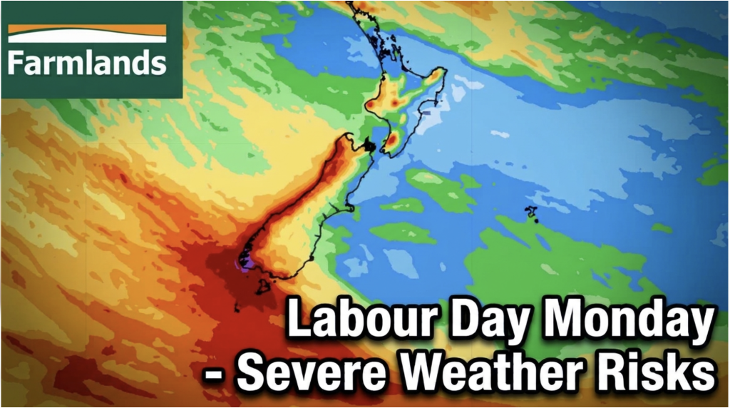
Labour Day severe weather risks – but large dry areas this weekend
High pressure shapes our weather this weekend but by Monday low pressure will affect the south bringing severe nor-west gales…
Related Articles
Labour Day severe weather risks – but large dry areas this weekend
High pressure shapes our weather this weekend but by Monday low pressure will affect the south bringing severe nor-west gales…
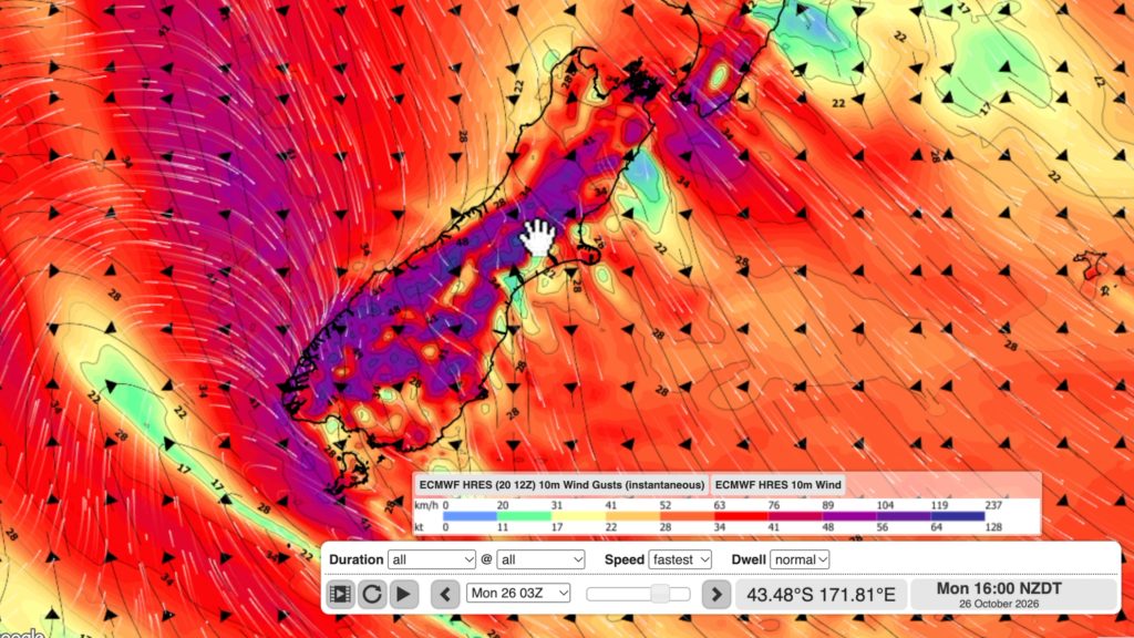
NZ: Long Weekend update, Labour Day severe weather risks
A very large and slow moving high pressure zone will slip off NZ to the east of the North Island…
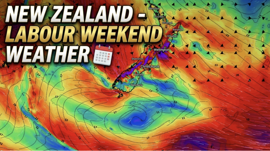
Weather this week & Labour Weekend
High pressure dominates NZ’s weather this week, but slides off much of the country by Labour Day Monday. Despite the…

