Cold days and nights until mid to late week, heavy frosts for some (+6 Maps)
27/05/2018 11:43pm

> From the WeatherWatch archives
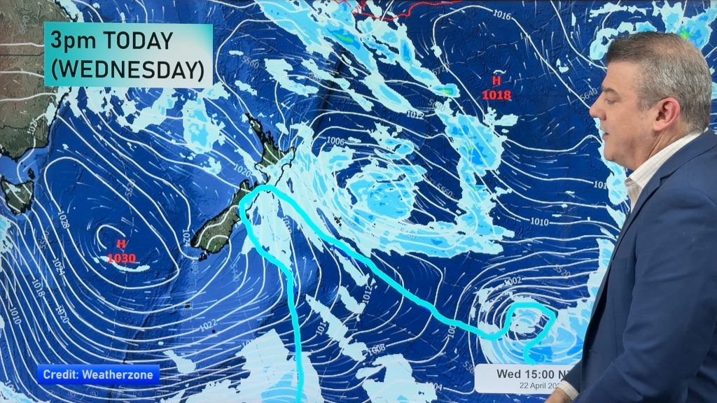
The cold southerly covers all of New Zealand but is fading away from the South Island and western areas of both islands as high pressure builds from the west. This high will lock in the cold air and bring clear/sunny skies resulting in very low overnight temperatures for the South Island interior in particular.
A light breeze may limit frosts in the North Island coupled with cloud in the east too.
Minimum overnight temperatures will be significantly low due to cooling under clear skies.
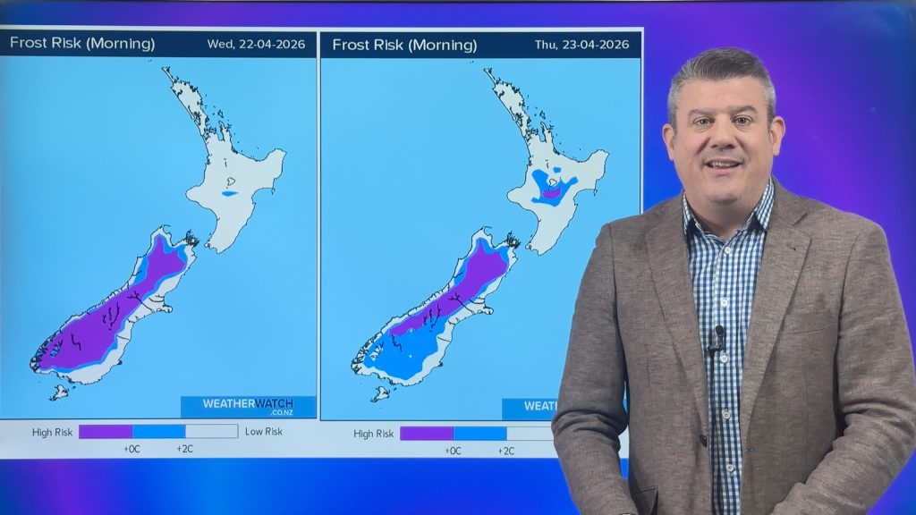
Sub-zero temperatures will be widespread in the South Island on Tuesday and Wednesday early morning with lows mainly between -3 and -6 inland. Coastal areas will be more borderline. Towards Thursday and Friday milder northerly quarter winds will slowly develop and reduce frost cover and intensity.
The risk of frost and the soil freezing is high in most areas in the South Island and around Central Plateau in the North Island.
The ground temperature may be much lower than the air temperature where clouds are absent during the night and this will now seriously limit pasture growth for South Island areas which have recently had extra growth due to warmth.


– WeatherWatch.co.nz
Comments
Before you add a new comment, take note this story was published on 27 May 2018.


Add new comment