> From the WeatherWatch archives
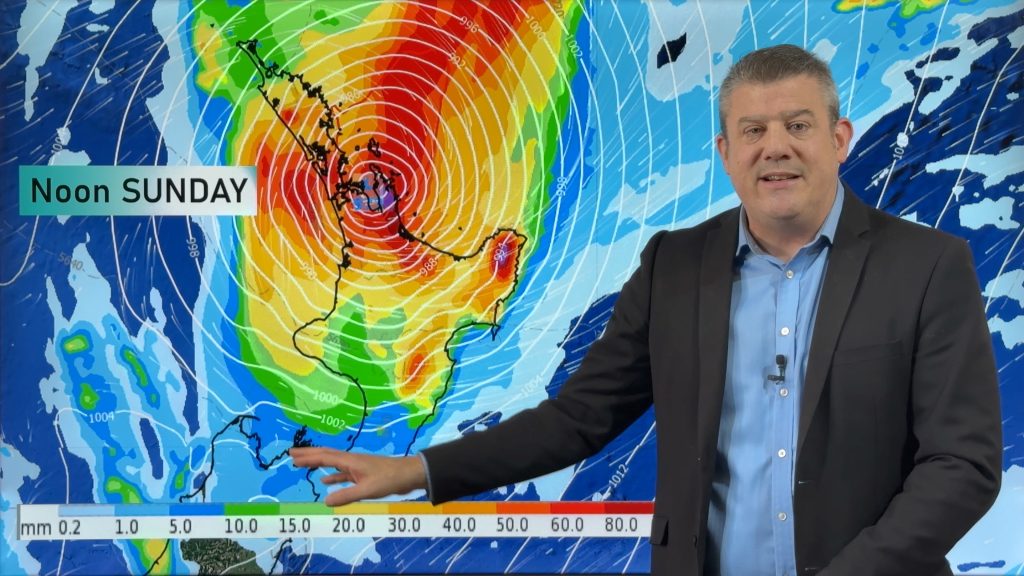
After big rains in July, there is the promise of more this coming weekend in the south. Saturated grounds have enjoyed glimpses of sunshine to start the week and begin the drying process but with more rain expected, natures good work may soon be undone. Rain is forecast to begin in Southland on Friday and steadily makes its presence felt over the remainder of the mainland as it heads north on Saturday. With this moisture, snow is forecast between 400 to 500 metres in many areas but that level has risen considerably in the last few hours. At one point, it looked at if a mantle of snow could settle to sea level for many in the east and south of the South Island, however the latest computer models suggest that the air may not be as bitterly cold in the southerly flow. South island weather analyst Richard Green says ‘ The Weatherwatch team are keeping a watch on this one after the recent events of big storms battering the country.At this point, it isn’t looking too major but this can change hourly’. Green also says ‘August is traditionally the snowiest month for those east and south of the divide and although the days are starting to draw out in terms of daylight hours, polar southerly blasts can be more common at this time of year’. Skifields have benefited from a particularly snowy July with some very good snow bases. Some fields have reported depths of more than two metres and with the promise of more snow on the horizon, the season could go until November, if the demand is there.!
Comments
Before you add a new comment, take note this story was published on 5 Aug 2008.


Add new comment