Calm, clear and a chance of frost – #WeatherRisks on Wednesday
12/04/2016 7:00pm

> From the WeatherWatch archives
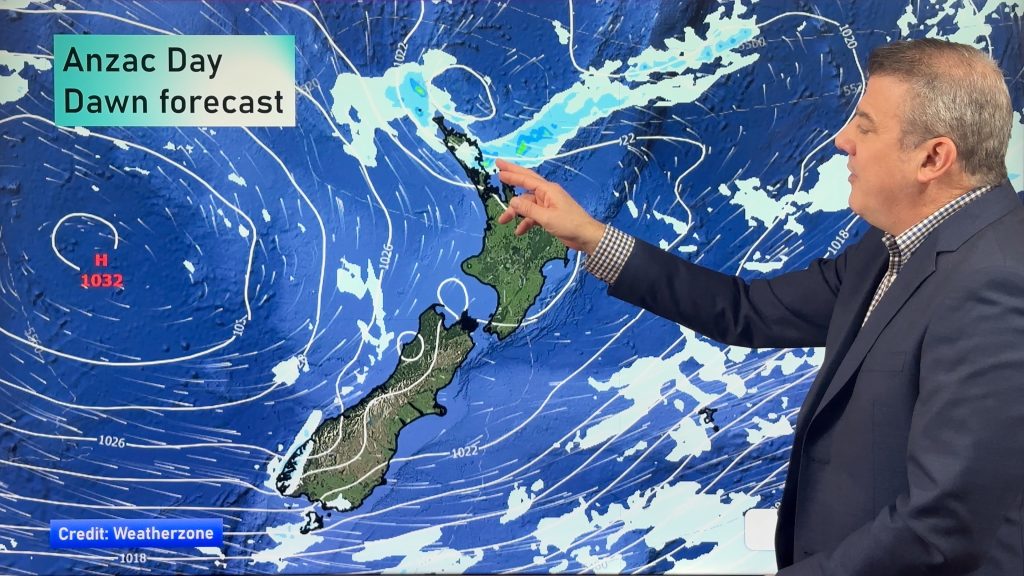
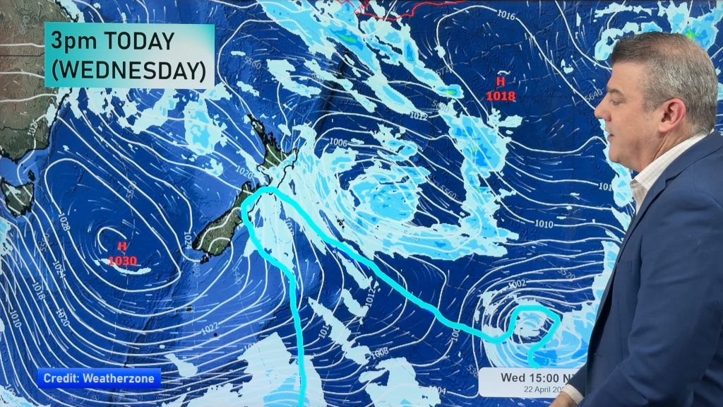
Wednesday looks to be the calmest and most settled day of the week so far, with a large anticyclone sitting to our west, keeping our skies clear and our air relatively still.
Of course, with the nights longer and cooler now, that’s a double-edged sword for some, with a touch of frost possible first thing in the morning for the inner South Island, as temperatures hover around the zero mark.
It’s not looking severely cold, but it will be a chilly start for many.
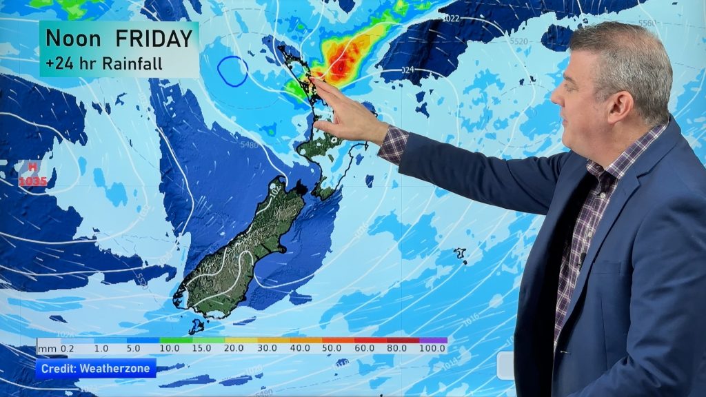
A front clears the northeastern fringes of the North Island early in the morning, areas around Coromandel, Great Barrier Island, the coastal fringes of Bay Of Plenty and eastern Northland.
While this front may bring the odd heavy fall, conditions take till about midday to clear from East Cape – and slightly earlier for areas further inland.
– Aaron Wilkinson & Drew Chappell, WeatherWatch.co.nz
– Photo: Dane Hawker
Comments
Before you add a new comment, take note this story was published on 12 Apr 2016.


Add new comment