> From the WeatherWatch archives
New Zealand needs an agitator, or two, to troll and break the big stubborn highs that just won’t budge as dry regions face an even drier couple of weeks ahead. WeatherWatch.co.nz says the big slow moving highs are bringing repetitive conditions to the country, where as an agitator would stir things up and bring varying wind flows and more variety in our weather.
Variety in weather is better for the economy too, as it brings some rain for those that need it but dry weather for those who love summer, camping and being outdoors.
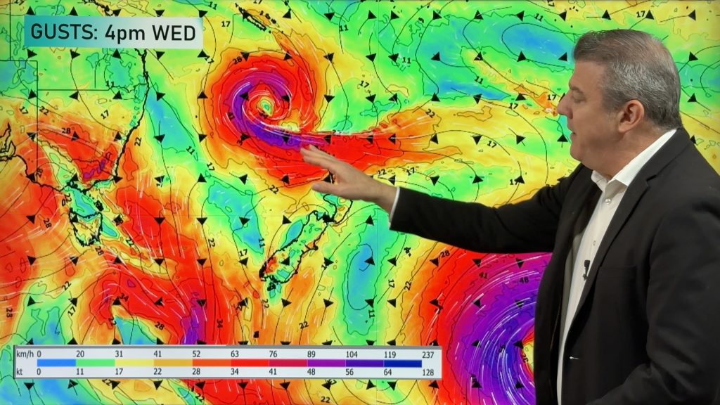
So where are the agitators/low pressure systems? WeatherWatch.co.nz sees two big lows in the next two weeks, both are tropical and both may become cyclones, the ultimate agitators. The first one this week looks likely to be small in size and mostly a wind event. The big lazy high over New Zealand will likely keep this storm offshore but the low may produce dangerous rips and waves at some of our north eastern beaches later this week, even if the weather on land is calm and sunny. This tropical low may also come closer to NZ than Oma did last week, but looks smaller in size.
The next big low is another possible tropical cyclone forming a long way north of NZ, in fact nearer to the equator – so while it may be a rain maker it may still be weeks away from being this far south. We also have a couple of lows churning away in the Southern Ocean and will send a couple of cold fronts our way – but this brings rain to Fiordland, not the dry regions.
In the mean time high pressure looks set to dominate the start of March bringing “more of the same”. The next hope for change will be in the middle of March.
When the weather is stuck and repetitive like it is now then agitators are just what we need – but for now, the large stubborn high pressure belt looks stuck in place over New Zealand and most regions look drier than normal for the next two weeks.
 – 7 day outlook compared to normal shows most of NZ is drier than normal (in red). Normal = white. Wetter than usual = blue. Data and map with thanks, as always, to the US Government.
– WeatherWatch.co.nz
Comments
Before you add a new comment, take note this story was published on 25 Feb 2019.


Add new comment