Your web browser (Internet Explorer) is out of date. Some things will not look right and things might not work properly. Please download an up-to-date and free browser from here.
2:13am, 15th May

> From the WeatherWatch archives
SW is building up, spilling a front across Auckland and the next day is followed by strong winds. Series of 4 pictures over 24 hours looking across Channel Island into the Hauraki Gulf, back toward Auckland from SE Great Barrier Island (Tryphena).
Images / Rendt Gorter.
See larger versions of these photos by going to our special NZ Photo Gallery.
Have 4 seasons in one day to send to us? Upload your photos here.
Comments
Before you add a new comment, take note this story was published on 16 Mar 2009.
Latest Video
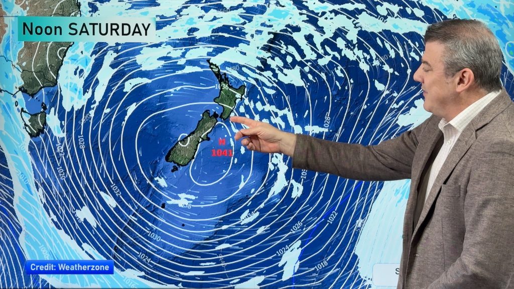
Eastern cloud/showers for the NI, high pressure expands elsewhere
A colder south to south-east flow will keep clouds and showers moving into some eastern parts of the North Island…
Related Articles
Eastern cloud/showers for the NI, high pressure expands elsewhere
A colder south to south-east flow will keep clouds and showers moving into some eastern parts of the North Island…
High pressure growing slowly, eastern showers for NI
A colder airflow is spreading across all of NZ now and will continue on as high pressure slowly moves towards…
Colder nights and plenty of NI eastern cloud & showers
Powerful high pressure is parked over Tasmania and will slowly drift into New Zealand this week, bringing a repetitive forecast…
Navigation
Follow us on
© 2026 WeatherWatch Services Ltd
%2012-03-2009%201-38-21%20p.m.%2026-02-2009%201-38-21%20p.m.._Small.preview.JPG)


Add new comment