> From the WeatherWatch archives
Monday is set to be cold and very windy across a number of regions as a low deepens to the east and a big high moves in from the west.
The squash zone between these two systems will dredge up polar air from fairly near Antarctica giving some regions a cold start to the week.
Most exposed to the strong cold winds will be southern and eastern regions of both islands, particularly Southland, Otago, Canterbury, Wellington and Wairarapa.

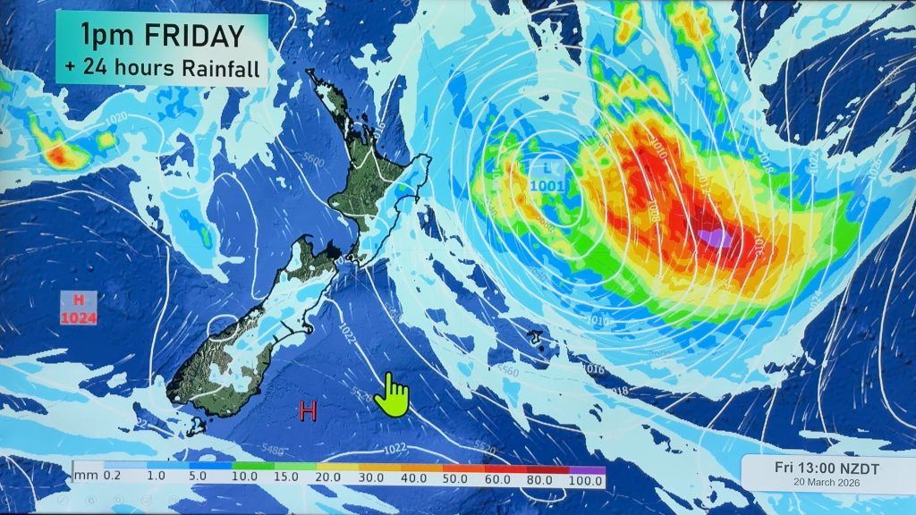
This map clearly shows the isobars dropping well south of New Zealand pulling in the cold air. The squash zone is a fairly significant one meaning Monday will be very windy across the entire country – but again southern and eastern areas will be most affected. However strong winds will also blow through Auckland too with WeatherWatch.co.nz predicting gales for a time.
Last week WeatherWatch.co.nz promised a settled, dry, week for the first week of the school holidays – that forecast still stands with the exception of Monday. By Tuesday morning conditions will become mostly settled around New Zealand with frosts even possible through sheltered parts of the country south of Central Plateau.
By Wednesday sunny, slightly warmer, weather will drift back in and by Good Friday warmer northerlies will return for many.
Image / Weathermap.co.nz
– WeatherWatch.co.nz
Comments
Before you add a new comment, take note this story was published on 17 Apr 2011.


Add new comment
Paul Owen on 17/04/2011 10:07pm
Quite often i have notice that Kaikoura has the most significant wind chill in the country and frequently worst than Wellington which is renowned to have high wind chill factors being next to the straight.
Reply
sw on 17/04/2011 6:23am
As usual from the SW direction…no NE gales before etc.
Reply