> From the WeatherWatch archives

Heavy rain and showers have dislodged some huge amounts of pumice around Turangi lately. Will there be more this weekend? – photo by weather watcher David Hawke.
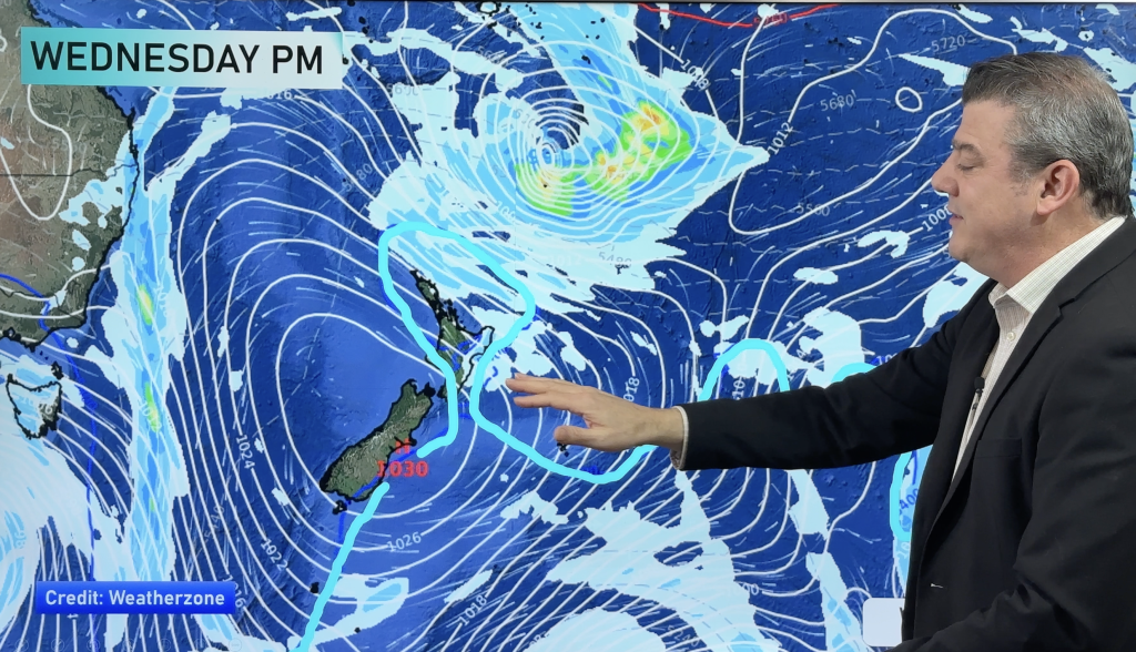
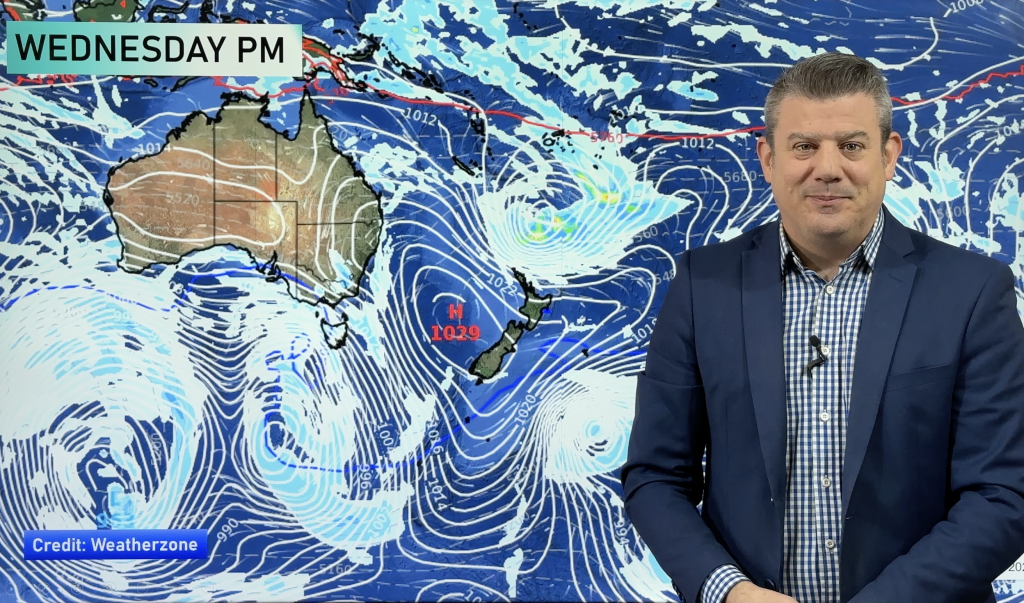
A high pressure system is moving in from the northern Tasman Sea and is expected to bring mainly clear and dry weather for much of the country – but is it going to be entirely dry where you are? The Weather Watch Centre has taken a look at the weather maps and thinks a few small showers are possible in some areas.
The high over the country isn’t going to be particularly strong but it should do a pretty good job at blocking any significant wet weather.
Showers still remain in the Tasman Sea following a large area of low pressure that formed 8 days ago off the New South Wales coast. Those showers have become few and far between and most are now pretty light.
The centre of the low tracked across the lower part of the North Island on Thursday and that’s where most shower activity should be this morning. A few little isolated showers are likely along the entire western coastline however – but showers should clear almost everywhere by this afternoon.
By tomorrow the North Island should be dry while some brief patchy rain or showers will affect Southland overnight tonight or early Sunday morning – the first indication of a large low moving in from the Southern Ocean.
Rain Tracker 11.30 update
A few light showers remain around the Northland,Auckland and Waikato regions but are beginning to diminish. Showers have moved inland in parts of southern Taranaki, Wanganui and Manawatu although an easing is expeceted later today.
The mainland continues to be generally dry although one or two showers may pop up about the ranges in the upper South Island ranges exposed to the north and east this afternoon. More general rain looks likely to move into Fiordland tonight, with a few spots possible in Gore and Invercargill overnight.
Weather Analyst Richard Green
During today the Weather Watch Centre will be watching two things – firstly we’ll be updating you on where the showers are and when they’ll clear with our NZ Rain Tracker news updates. Secondly, for those who like international news we’ll be updating you on Hurricane Ike, in the story below. Check back throughout the weekend for all the latest local, national and international weather news.
Comments
Before you add a new comment, take note this story was published on 12 Sep 2008.


Add new comment