> From the WeatherWatch archives
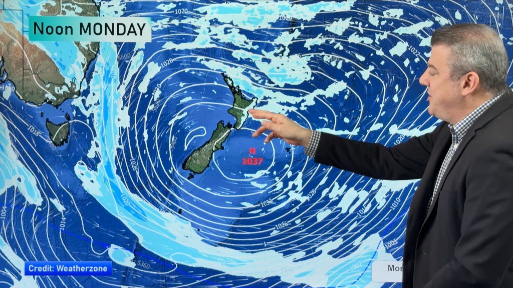
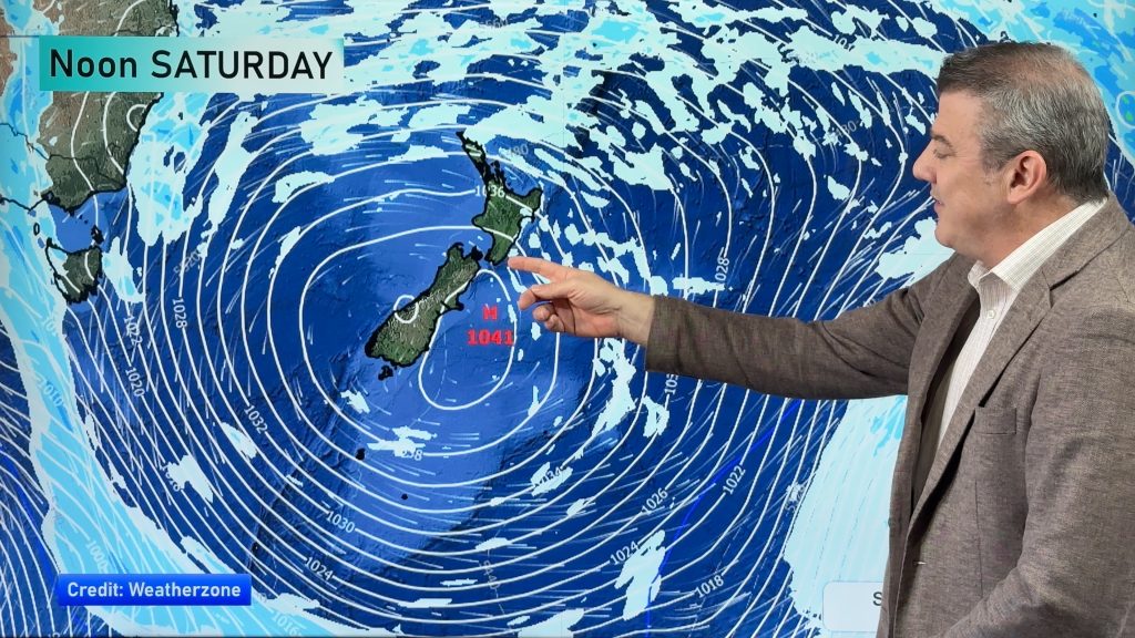
Last week residents along the entire eastern coastline of New Zealand suffered through days of relentless bitterly cold southerlies, rain and sleet showers while the rest of New Zealand had blue skies and light winds – this week west is definitely not best, as clear skies and warm winds spread across eastern New Zealand while clouds and the odd shower move in to the west and north.
In the east from Dunedin to Gisborne sunny skies and light, warm, winds will continue to linger. Highs will range from 15 to 21 degrees off and on over the next few days in various parts of the east coast (all comes down to exact wind direction as to who will reach over 20).
Even Wellington, the most exposed main centre to last weeks Antarctic blast, is in for a fairly pleasant few days with passing clouds, breezy northerlies and highs in the mid teens. This time last week the capital had a bitterly cold southerly and wind chill temperatures below zero.
The warm weather had been gradually building across the country before the cold blast hit 10 days ago.
Sunny, dry and mild weather is in the forecast for the next few days and through the entire weekend say WeatherWatch.co.nz forecasters.
No snow storms are predicted by WeatherWatch.co.nz for the rest of August or the first few days of September. Beyond that we’ll continue to keep you posted.
Homepage image / Spring cows in Canterbury last year Holindu Abhayagunawardena
– WeatherWatch.co.nz
Comments
Before you add a new comment, take note this story was published on 23 Aug 2011.


Add new comment
Mark on 24/08/2011 1:16am
According to the isobars the high is right smack above us here in Northland yet our sky is completely cloudy. Why is that?
Reply
WW Forecast Team on 24/08/2011 1:35am
Hi Mark – two reasons for that. Firstly, Northland, Auckland and Waikato are especially vulnerable to what is called Anticyclonic Gloom – basically it’s the low level clouds trapped near the centre and to the west of the centre as it drifts over these regions. Warmer sea temperatures at night help produce more clouds and moisture (so sometimes you can get light showers or drizzle in the middle of a high) and of course no wind to blow it away. Usually in the afternoon the cloud breaks a bit but often stays mostly cloudy. The other set of cloud is from the jetstream high above us, blowing in cloud from the sub-tropics (high cloud). So we have low and high cloud both affecting Northland and Auckland right now.
Cheers
– WW
Reply
Guest on 24/08/2011 12:39am
Just made it to 20 from a low of 0 in Christchurch. Been sunny here this week and looks set to continue.
Feels like the polar oppisite (hah) to last week with snow on the ground.Could pass off as summer with the heat in the sun and warm winds. Very impressed for late winter .
.
Reply
Geoff on 23/08/2011 8:16pm
What do you put the highs at for Chch? Metservice has got 20 for today, then 21, 19 and 15 after that…which seems too warm for late winter?!!
Reply
WW Forecast Team on 23/08/2011 8:44pm
Hi Geoff, on Monday Timaru had 19 degrees thanks to the warm winds. Those warm winds return today although my personal feeling is that the warm air will be more inland…so 20 to 22 degrees is possible inland but perhaps mid to late teens for most other main centres. Christchurch is actually the hardest main centre to forecast temperatues for…if the nor’wester has enough oomph the temps in Chch jump up…but often when the winds aren’t very strong the warm winds can remain just inland or just to the south.
Cheers
Philip Duncan
Reply
Geoff on 23/08/2011 9:50pm
Are they listening to you prophecy Phillip?! they’ve just gone down to 17, 18 and 19….
Reply
Peter on 24/08/2011 4:31am
Beautiful day here in Ngaio, warm and Sunny,. Hardly a cloud in the sky..
Reply