> From the WeatherWatch archives
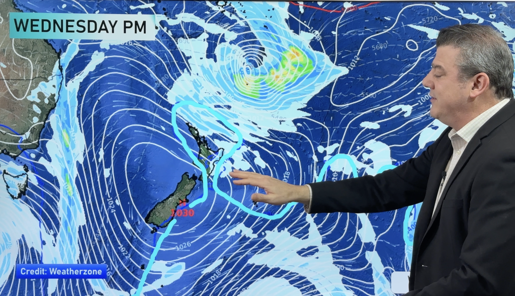
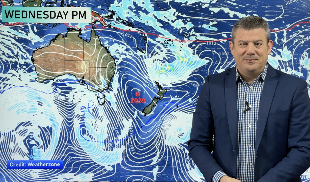
A front pushes over the North Island on Wednesday with a ridge building further south.
Northland, Auckland, Waikato & Bay Of Plenty
Dry then some rain around midday as northerlies change southwest. Could be a thunderstorm about the Waikato and Bay Of Plenty in the afternoon. Rain eases back to showers in the afternoon.
Highs: 22-27
Western North Island (including Central North Island)
Morning showers then sunny spells develop in the afternoon as southeasterlies freshen.
Highs: 20-27
Eastern North Island
Showers develop in the morning, turning to rain for a time in the afternoon then easing evening. Light winds change to the south by midday.
Highs: 19-26
Wellington
Morning showers clear, mostly cloudy then cloud breaks in the evening. Fresh southeasterly winds.
High: 18
Marlborough & Nelson
A mostly cloudy day for Marlborough, a few showers about, mainly morning but the odd one may linger into the afternoon. Nelson stays mainly dry, some morning sun then cloud thickens up in the afternoon before breaking away again overnight. Southeasterly winds.
Highs: 17-21
Canterbury
Morning showers or drizzle, a fairly cloudy day but some sun possible before dusk. Southerlies tend east to northeast later in the evening.
Highs: 13-15
West Coast
Morning cloud with the risk of a shower then mostly sunny, southwesterlies die out in the afternoon.
Highs: 17-23
Southland & Otago
May be a morning shower then sunny spells gradually increase, west to southwesterly winds (fresh about the coast) die out in the evening.
Highs: 13-17
By Weather Analyst Aaron Wilkinson – WeatherWatch.co.nz
Comments
Before you add a new comment, take note this story was published on 3 Mar 2020.


Add new comment