> From the WeatherWatch archives
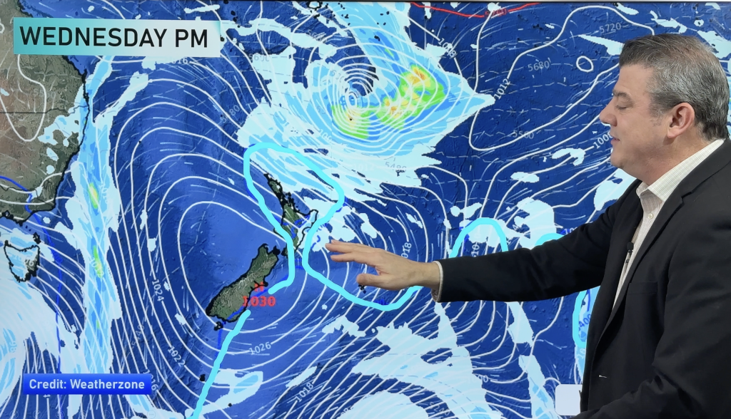
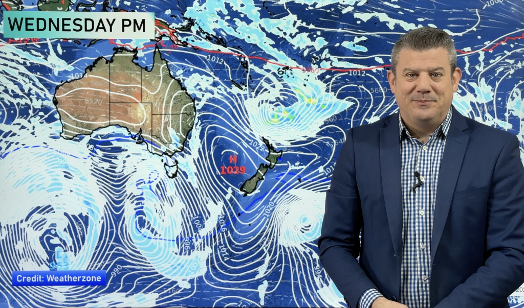
An east to northeasterly airflow lies over the country today moving around a high which is centred east of the South Island in the Pacific Ocean.
Northland, Auckland, Waikato & Bay Of Plenty
Sunny areas and high cloud after any morning fog breaks away, light winds tending easterly about Northland. Chance of a shower late afternoon or evening about the Waikato and Bay Of Plenty.
Highs: 21-22
Western North Island (including Central North Island)
Cloudy areas, chance of a shower or two mainly afternoon. Light winds.
Highs: 20-21
Eastern North Island
Morning sunny areas, cloud builds after midday with the odd shower possible
late afternoon / evening. East to southeasterly winds.
late afternoon / evening. East to southeasterly winds.
High: 19
Wellington
A few morning showers clear, cloudy with southerly winds.
High: 17
Marlborough & Nelson
Mostly cloudy with easterly quarter winds. Chance of a shower mainly
afternoon.
afternoon.
Highs: 18-19
Canterbury
Mostly cloudy with east to northeast winds, the odd drizzle patch possible,
mainly this morning then easing this afternoon.
mainly this morning then easing this afternoon.
High: 15
West Coast
Morning drizzle clears, sunny breaks develop in the afternoon. Light
winds.
winds.
Highs: 18-19
Southland & Otago
Mostly sunny with light east to northeast breezes after any morning cloud
breaks away. A risk of overnight fog.
breaks away. A risk of overnight fog.
Highs: 15-17
By Weather Analyst Aaron Wilkinson – WeatherWatch.co.nz
Comments
Before you add a new comment, take note this story was published on 21 Apr 2015.


Add new comment