> From the WeatherWatch archives
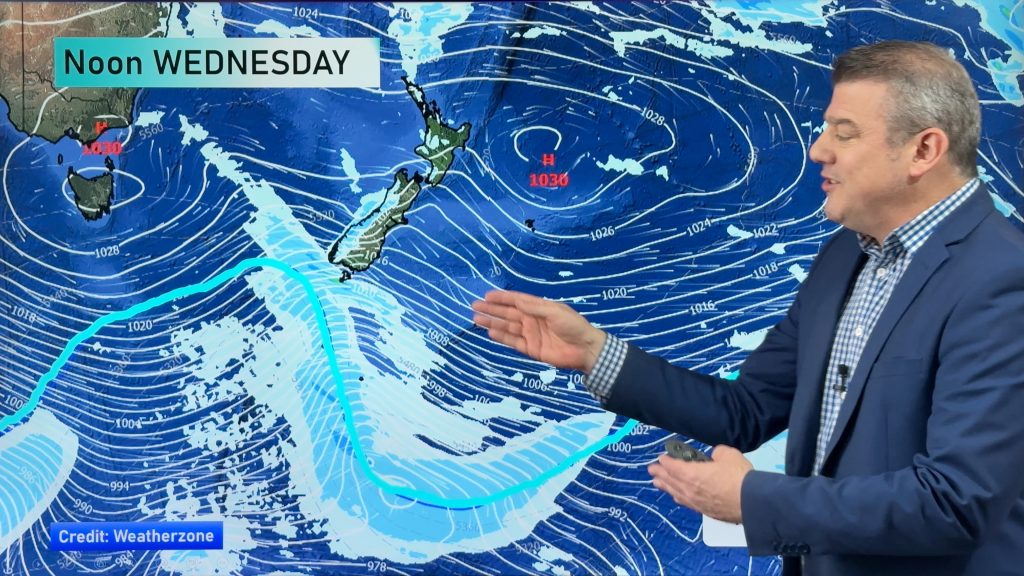
High pressure will continue to slide east today, keeping the country under its influence.
One of the main features we will notice today will be the increased southerly flow. That will mean that temperatures may be a bit cooler than what we saw on Tuesday, especially about the North Island.
The other thing that increased southerly flow will do is set up the chances for showers about Hawkes Bay and Gisborne.
A few showers about Wellington are possible too, but the chances are very small.
The rest of the country should see another settled day. It may not quite as warm as yesterday, but unless you are in one the areas that sees a lot of clouds today, like Hawkes Bay and Gisborne, I think the temperature change will not be that noticeable.’
By WeatherWatch Analyst Howard Joseph
Comments
Before you add a new comment, take note this story was published on 17 Apr 2012.


Add new comment