> From the WeatherWatch archives
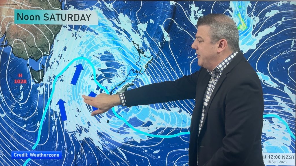
New Zealanders have a taste of winter coming as a blast of polar air surges northwards, arriving in the Deep South Thursday night, getting colder Friday night and spreading nationwide by Saturday.
Snow is likely to low levels, maybe even sea level, although it is unlikely to settle or accumulate much at those levels. Higher up snow is more likely to settle and affect Alpine Highways in the South Island and even some snow possible in the North Island ranges and highways like the Rimutaka Ranges or Desert Road.
High pressure rolls in from the Tasman Sea on Sunday and Monday and that will lift temperatures by day but bring in frosts for some by night. Skies will clear and winds will ease in most places by the end of the weekend and warmer weather returns to New Zealand midway through next week thanks to yet another sub-tropical northerly airflow.
Comments
Before you add a new comment, take note this story was published on 17 May 2017.


Add new comment