> From the WeatherWatch archives
The nation remains divided in two today as cloudy weather continues over the North Island while settled weather stays over the South.
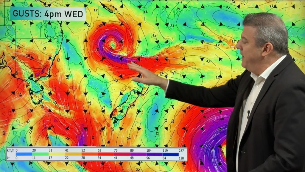
A weak low north east of New Zealand continues to fuel showers into the upper North Island although most are now confined to eastern areas north of Whangaparaoa and have now cleared Auckland City.
Yesterday a cold start in the Volcanic Plateau was followed by rain which quickly saw it turn to snow on Mt Ruapehu and the Desert Road. There’ll be no repeat of that today.
Cloud spreads about as far south as Hawkes Bay but skies are clearing from Taranaki southwards.
In the South Island mainly settled, sunny, weather remains in place with clouds mostly confined to Southland and coastal Otago.
A large high remains in place over the South Island and by midnight tonight will extend as far north as Waikato. Tomorrow the high will cover all of New Zealand with only the north eastern tip of Northland at risk of being unsettled as that low drifts away from the area.
Settled weather should remain for Saturday but by Sunday our next Tasman Sea system will start to move in – meaning warm nor’westers should be on the way for most places.
The weekend looks mainly dry and warm everywhere with showers developing in western areas late on Sunday.
Comments
Before you add a new comment, take note this story was published on 19 Aug 2009.


Add new comment