> From the WeatherWatch archives
This week the weather is mostly dominated by high pressure, meaning a mainly settled outlook however it’s not perfect and some regions will still have showers / cloudy weather at times.
On Tuesday the weather is largely settled and sunny across the South Island again, a high pressure system almost centred right over the Island brings calm conditions. The North Island has an easing east to southeasterly flow, most places are generally sunny with some high cloud about. Just the east coast from
Wairarapa through to Gisborne and the east coast of Northland may experience the
odd light shower at times.
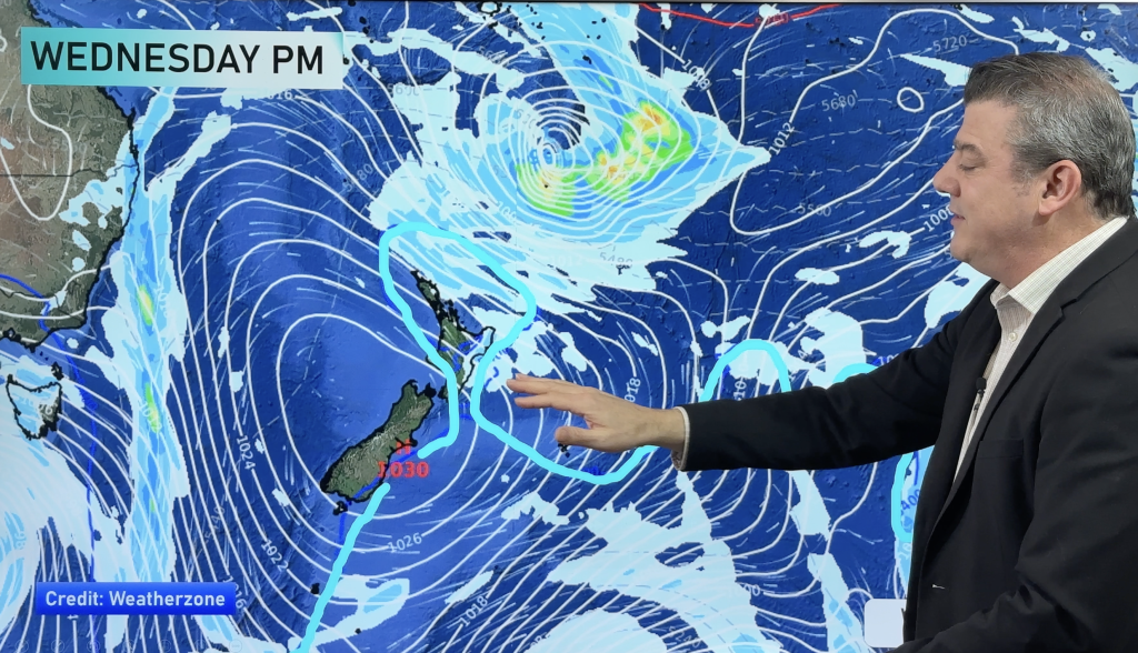
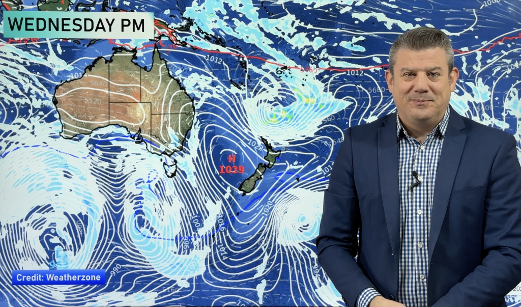
Tuesday’s anticyclone moves east on Wednesday with a ridge playing more of an influence over the North Island’s weather, most places across the North Island are looking to be sunny with light winds tending
easterly about Northland. Morning cloud burns away from the Wairarapa and Hawkes
Bay, only about Gisborne northwards in the east will some cloud stick around for
much of the day bringing the possibility of a light shower or two.
Over the South Island the flow tends more northerly, sunny about Southland with some
high cloud later in the day. The east coast and the top of the South Island are
looking settled and sunny still with mainly light winds, along the West Coast
things start out good but some cloud moves in from afternoon, drizzle moves into
Fiordland and South Westland in the evening.
A ridge lies over the North Island on Thursday bringing mostly sunny weather, northerlies gradually build
about Wellington during the day. Just north of Auckland and about the east coast
of Northland a light easterly airflow may drag in some cloud and the odd light
shower. For the South Island conditions are dry and sunny in the east with
increasing high cloud, periods of rain along the West Coast possibly heavy later on.
Finally on Friday a weak front moves north over the South Island, morning rain on the West Coast eases to showers with northwesterlies easing too. In the east, high cloud to start with light winds then a light southerly change
moves into Otago in the morning then up to Marlborough by evening bringing
cloudy periods and the odd light shower.
For the North Island conditions are mostly sunny in the east and mild with a northwesterly airflow. Sunny spells in
the west and about Wellington. About the Coromandel and Auckland northwards a
weak trough may continue to bring in cloud and the odd shower during the day in
an eastery airflow, showers mainly in the east.
Homepage image / Monday 2nd June 2014 midday MSLP / Rain map – weathermap.co.nz
By Weather Analyst Aaron Wilkinson – WeatherWatch.co.nz
Comments
Before you add a new comment, take note this story was published on 2 Jun 2014.


Add new comment