> From the WeatherWatch archives
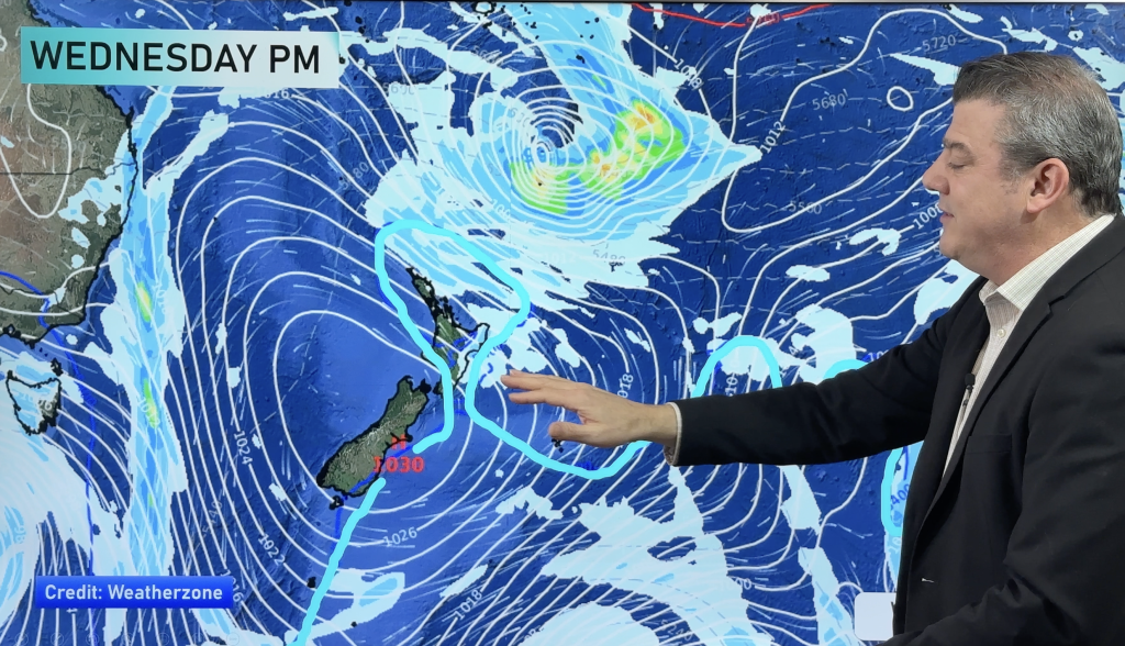
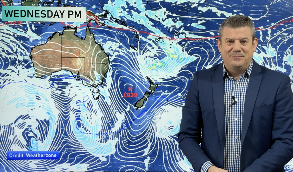
We are now entering a spring like weather pattern, that’s according to WeatherWatch.co.nz’s head weather analyst Philip Duncan who says windier, warmer, weather is likely to be the set up for at least the next one or two weeks.
“We’ve seen a real shift in the weather patterns in the past week or so and despite a cold, sunny, patch over the weekend and Monday we’re now entering an early spring weather pattern”.
Mr Duncan says that’s not to say winter has ended early but instead is taking a bit of a back seat for the next week or two. “When winter emerges again it’s unlikely to be the bitterly cold beast we saw over June and early July”.
“Today westerly winds are starting to build across the nation and we’re only just getting started. We have several windy days ahead of us which will keep frosts away for most kiwis and ensure much warmer weather for areas that have had a bitterly cold winter so far”.
In particular the east coast of the South Island is likely to see a real surge in temperatures as the nor’wester kicks in. “The nor’wester has been remarkably absent this year so its return will be welcome by many who have perhaps had enough of dreary, cold, days” says Duncan.
Temperatures for Canterbury are predicted to reach the mid to upper teens over the coming days. It’s a similar story for the North Island’s east coast, which will also be fanned by warm nor’westers, with temperatures rising closer to 20, if not over 20 in some inland areas.
For Auckland and northern New Zealand it means a week or so of windier weather following a mostly calm winter so far. Westerlies will be the prevailing winds with highs in the mid teens and lows in the late single digits.
WeatherWatch.co.nz believes the coldest part of winter is now firmly behind us.
Image/Sam Hall
Comments
Before you add a new comment, take note this story was published on 29 Jul 2009.


Add new comment