> From the WeatherWatch archives
Yesterday provided a day of all sorts for many parts of the country and bleak weather conditions hammered away in the deep south and rain moved in and out of the upper North Island.
Today it’s looking much more settled in the main with much of the nation seeing blue skies over a considerable part of the day with the only blemishes looking like a rogue shower or two over northern and eastern areas of the North Island and the far southwestern corner of the Mainland could see some showers remaining but a clearance is also on the cards.
Temperatures aren’t expected to be overly warm with the low to mid teens likely to be the top temperatures over the central and upper northern regions whereas the South Island is likely to be fresher but Nelsonians should see a pleasant afternoon temperature wise.
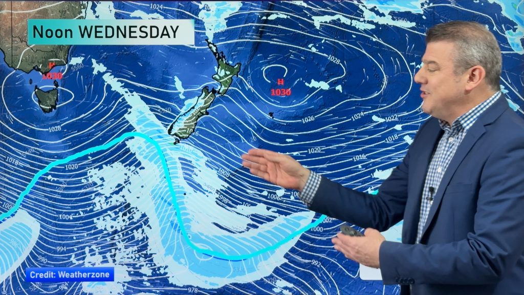
A sou’ west flow remains over us but another front is approaching from the Tasman Sea and tomorrow another cold southerly chnage is expected to work up over the Mainland.
Story by R.Green
Comments
Before you add a new comment, take note this story was published on 28 May 2012.


Add new comment