> From the WeatherWatch archives
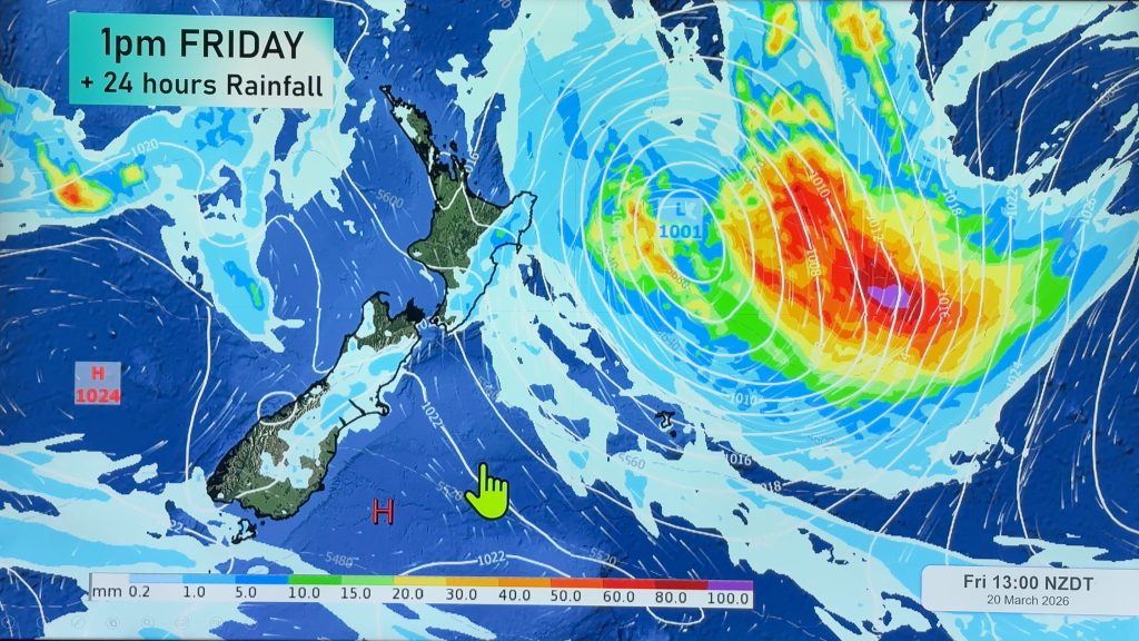
A tropical storm is expected to develop over the next 24 hours in the Coral Sea and may bring some drought relief to Waikato farmers this weekend, while a huge storm in the Southern Ocean fires more rain into the South Island.
The tropical low, which has the potential to develop into quite an organised system, is likely to bring showers or rain this weekend to many parts of the North Island, starting Friday and ending Monday. Strong winds are also a possibility across Northland and eastern Waikato.
Head weather analyst Philip Duncan says decent rainfalls are definitely possible. “This is your typical La Nina tropical low and it’s coming from the right direction as far as increased rainfall is concerned”.
Duncan says longrange forecasts from weather.com show shower activity from Waikato and Bay of Plenty northwards from Friday night to Monday morning. “At this stage rainfall predictions aren’t high but as with any tropical storm it’s very difficult to predict their exact pathes too far out”. But he says all the ingredients are there for heavy rain over northern New Zealand. “We’ll have a much clearer idea about the path of this storm on Wednesday or Thursday”.
Meanwhile a super depression in the southern ocean is expected to fuel massive waves on Southland beaches along with more wet weather. “Any fears of Southland going into winter dry as a bone should now start to ease as we see more and more shower activity like this”. Duncan says a front from this system is likely to reach the North Island by Sunday but it’s unclear yet if Wairarapa farmers will receive any rain. “It’s incredibly dry in Wairarapa and I think the plight of farms in this area has been over shadowed by other larger regions such as Waikato, Canterbury and Southland. Rain fall is desperately needed here but at this stage strong nor’westers seem to be the only significant thing in the forecast”.
TRN’s Weather Watch Centre will closely monitor these systems over the next few days.
Comments
Before you add a new comment, take note this story was published on 18 Feb 2008.


Add new comment