> From the WeatherWatch archives
Confidence is mounting that a tropical cyclone will develop this weekend between Vanuatu and Fiji then track south towards New Zealand at the start of next week, possibly bringing severe weather to the North Island.
WeatherWatch.co.nz broke the news on Monday but for much of the week has waited for the international computer models – which help guide forecasters with long range predictions – to all make similar predictions as to intensity and path. Two other forecasters have now joined our prediction of a significant tropical low, the Fiji Met Service and the New Zealand MetService.
This morning is the first time the models have started to line up – and it puts the upper North Island especially at risk, but also the rest of the North Island and to a lesser degree the upper South Island.
But head weather analyst Philip Duncan says it may not be quite so simple as one storm coming south from the tropics. “We think this low will be slow moving and significant, but we think other areas of low pressure will bubble up around it – helping spread the energy further”. Mr Duncan says that doesn’t mean it will create a stronger storm – instead it simply creates a larger area of wind and rain, while the overall intensity may actually drop.
“The most likely scenario will see not one but at least three low pressure systems working together, one with tropical origins the other two or three with sub-tropical origins. This could bring a period of gales – possibly severe in some areas like eastern Waikato, also heavy rain for the upper North Island, being fed in from the north east”.
Mr Duncan says some models are still picking a low will track into the Tasman, while others say they will slide down the east coast. But either scenario puts the North Island at risk of severe weather.
And today the Fiji Met Service has lifted their risk for a tropical cyclone forming between Vanuatu and Fiji this weekend to “high”, while MetService in NZ has included it in their severe outlook for the first time – saying it could impact the upper North Island as well but admits, as WeatherWatch.co.nz also does, that there is still uncertainty as to the exact tracking.
On Monday WeatherWatch.co.nz said the risk was 20%, then raised their risk to 40% on Wednesday. Today the weather news authority says confidence is about 90% that a cyclone will form this weekend but says confidence is around 60% that stormy weather will impact the upper North Island next week.
“At least three lows are going to cover a huge chunk of airspace north of New Zealand and around the North Island next week while a very large high – the one that’s over us now – will remain to the south. While this high will help protect the lower part of the country from rough weather it will also contribute to stronger winds in the north and the very slow movement of the systems”.
The models also suggest a spin off low may form in the Tasman Sea later next week, potentially bringing a secondary burst of rain for Easter weekend – but confidence of this today remains fairly low.
WeatherWatch.co.nz says dangerous rips and surf can be expected along much of the North Island’s east coast next week. We’ll have more details later today on expected beach conditions.
In light of recent flooding in Northland and other upper North Island regions, WeatherWatch.co.nz advises northerners especially to stay up to date with the latest weather news and potential warnings over the coming days.
.jpg)
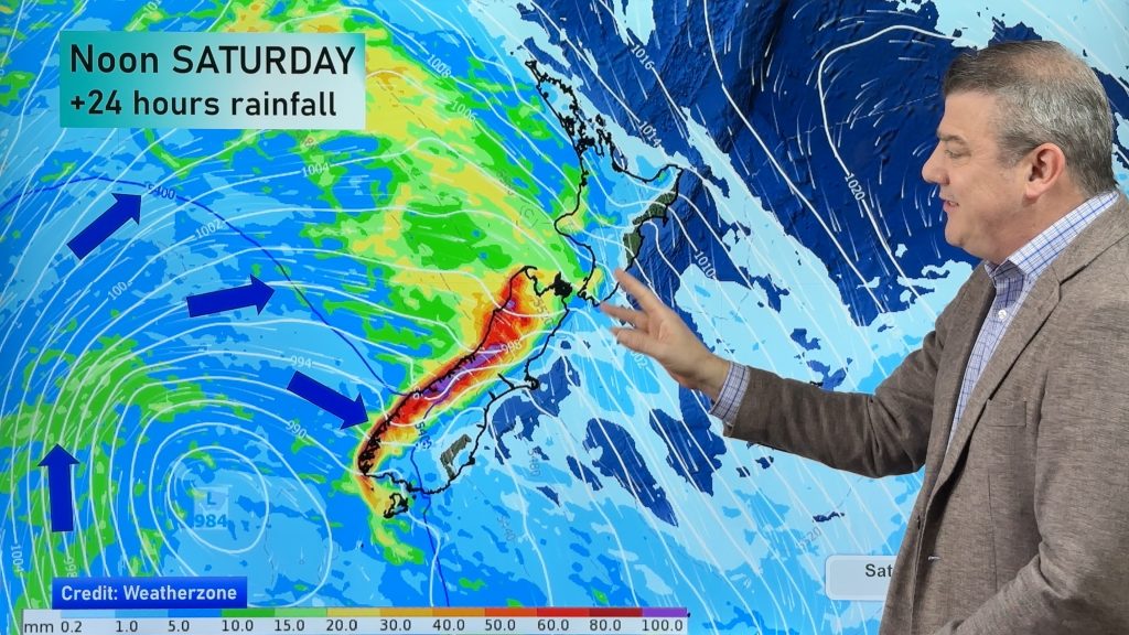
Above – Wednesday’s rain map shows intense rain for northern and north eastern parts of the North Island.
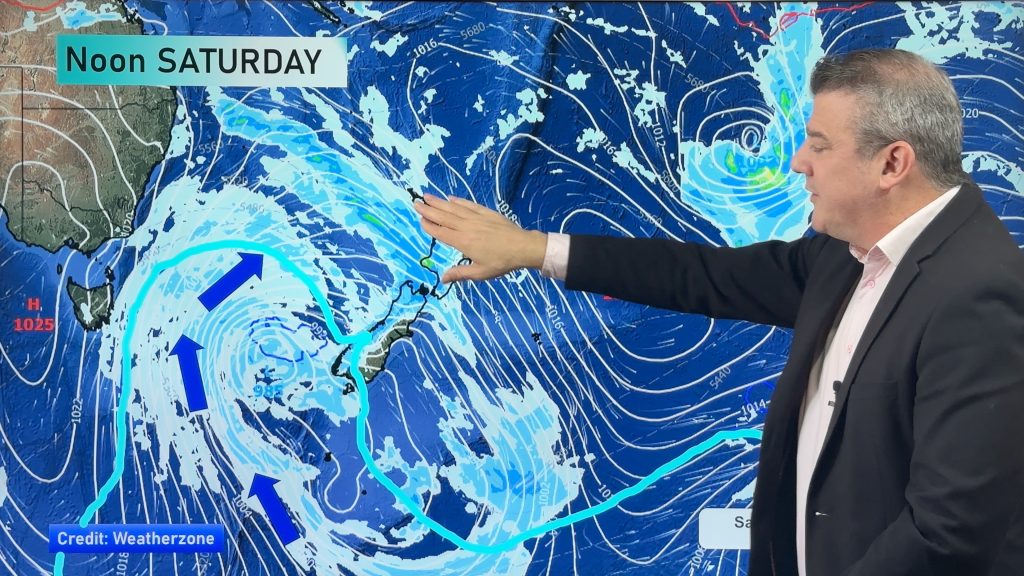
Below – Wednesday’s wind map shows severe gales possible (purple, red) around the North Island.
.jpg)
– Weathermap.co.nz
– WeatherWatch.co.nz
Comments
Before you add a new comment, take note this story was published on 29 Mar 2012.


Add new comment
Guest on 1/04/2012 7:58am
Hi there
Camping beach front site at Ruakaka, just South of Whangarei not advisable for Easter weekend? 3 kids in tow as well!
Cheers
Reply
aimee on 30/03/2012 6:35am
So not commercial fishing then? Coville area.
Reply
WW Forecast Team on 30/03/2012 6:40am
Looks a little rough at this point Aimee but things may change. We suggest to keep a close eye on the situation.
Cheers
WW
Reply
Guest on 30/03/2012 4:19am
What are the winds looking like for New Plymouth area? Thanks
Reply
Ross on 30/03/2012 3:37am
Hi there
Obviously this will arrive over nothern NZ just in time to ruin holiday plans as has been the norm this year so far. Any indications yet of how this could affect the lower South Island? We’re off to Warbirds Over Wanaka…fingers are crossed for typically fine Central Otago autumnal weather!
Reply
WW Forecast Team on 30/03/2012 6:41am
Hi Ross
Certainly looks calmer down south and enjoy 🙂
WW
Reply
Guest on 29/03/2012 9:55pm
how at risk is Auckland at this time thanks
Reply
WW Forecast Team on 30/03/2012 1:19am
Hi there – nothing to suggest anything too serious for Auckland right now, but gales and a period of heavy rain are likely early to mid next week
Cheers
– WW
Reply