Total forecast rainfall accumulation Map for the rest of January
17/01/2019 8:40pm

> From the WeatherWatch archives
Here’s how much rain is forecast to come for New Zealand for the rest of January and it shows Canterbury and Northland may be the two driest regions.
WeatherWatch.co.nz says reliable US computer models indicate we’re about to slightly shift our weather pattern. “The coming week ahead will be more spring or autumn like for some South Islanders and western parts of New Zealand with temperature drops coming out of the Southern Ocean area coupled with rain bands and showers coming in from the south west” says head forecaster Philip Duncan.
Daytime highs on the West Coast and around Southland next week may struggle to climb above the low to mid teens meaning southern daytime highs will match, or even be lower than, the overnight lows in north of the country. (For example early next week some lower South Island areas may only reach 14 degrees as the daytime high, while Auckland has an overnight low of 18 degrees).
The very north and north east of the North Island (Far North, Bay of Islands, Coromandel Peninsula, BOP) and eastern South Island (Marlborough, Canterbury) look to be the driest in the next several days ahead under this set up.
Mr Duncan says the weather pattern will be a little like Autumn or Spring for some in the lower South Island. “It will be the West Coast and Southland with the most rain and the biggest temperature drops while eastern parts of the North Island, like Hawke’s Bay, may reach 30 degrees next week with mostly dry, sunny, hot weather”.
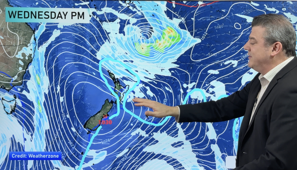
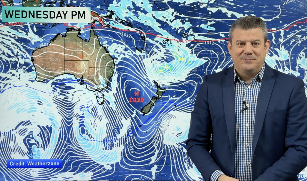
High pressure continues to stream in from Australia but this coming week will be slightly north of the South Island allowing the Southern Ocean weather to influence the country.
RAIN ACCUMULATION MAP FROM TODAY (Jan 18) UNTIL THE END OF JANUARY (Jan 31):

– WeatherWatch.co.nz
Comments
Before you add a new comment, take note this story was published on 17 Jan 2019.


Add new comment