> From the WeatherWatch archives
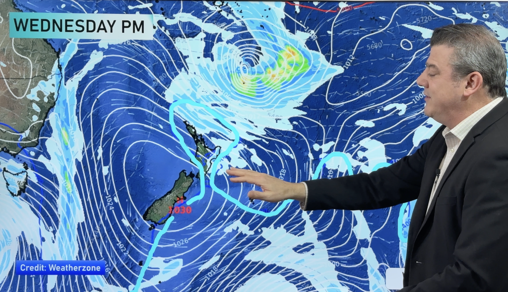
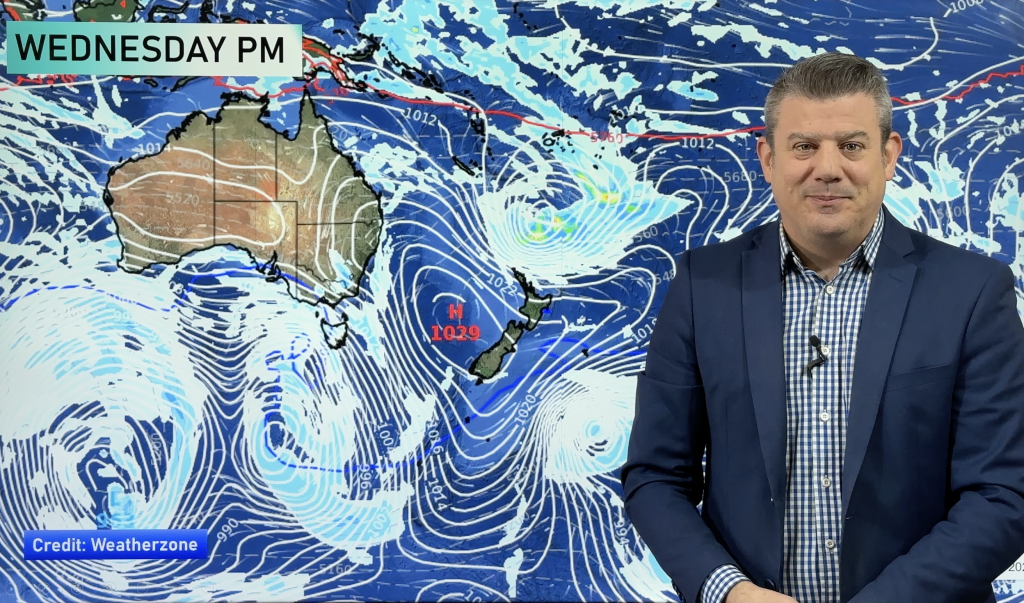
An anticyclone brings mainly settled weather today, a front moves onto the lower South Island later this evening or overnight.
Northland, Auckland, Waikato & Bay Of Plenty
Morning cloud, perhaps some fog about the Waikato then becoming mostly sunny, east to northeasterly winds.
Highs: 19-23
Western North Island (including Central North Island)
Sunny spells, isolated showers possible in the afternoon then clearing evening. West to northwesterly winds.
Highs: 19-22
Eastern North Island
Mostly sunny with east to northeasterly winds.
Highs: 21-23
Wellington
Mostly sunny but becoming a bit windy as northerlies strengthen.
High: 19
Marlborough & Nelson
Sunny, north to northwesterly winds pick up in the afternoon.
Highs: 21-26
Canterbury
Mostly sunny with some high cloud, northwesterlies for most however tending northeast about coastal fringes. Northwesterlies spread through to the coast by evening.
Highs: 21-25
West Coast
Sunny areas and some high cloud, rain moves into Fiordland late evening or overnight. Northwesterly winds.
Highs: 18-23
Southland & Otago
Sunny areas and increasing high cloud, overnight rain or showers as northwesterlies change southerly.
Highs: 20-24
By Weather Analyst Aaron Wilkinson – WeatherWatch.co.nz
Comments
Before you add a new comment, take note this story was published on 14 Nov 2018.


Add new comment