> From the WeatherWatch archives
It will start out being a fairly dry and settled week next week. Monday is looking quite nice for much of the country.
But, as Kiwis started to head back to work, the weather will become more unsettled. Breezy, rainy and somewhat cooler weather is expected for the middle and end of next week.
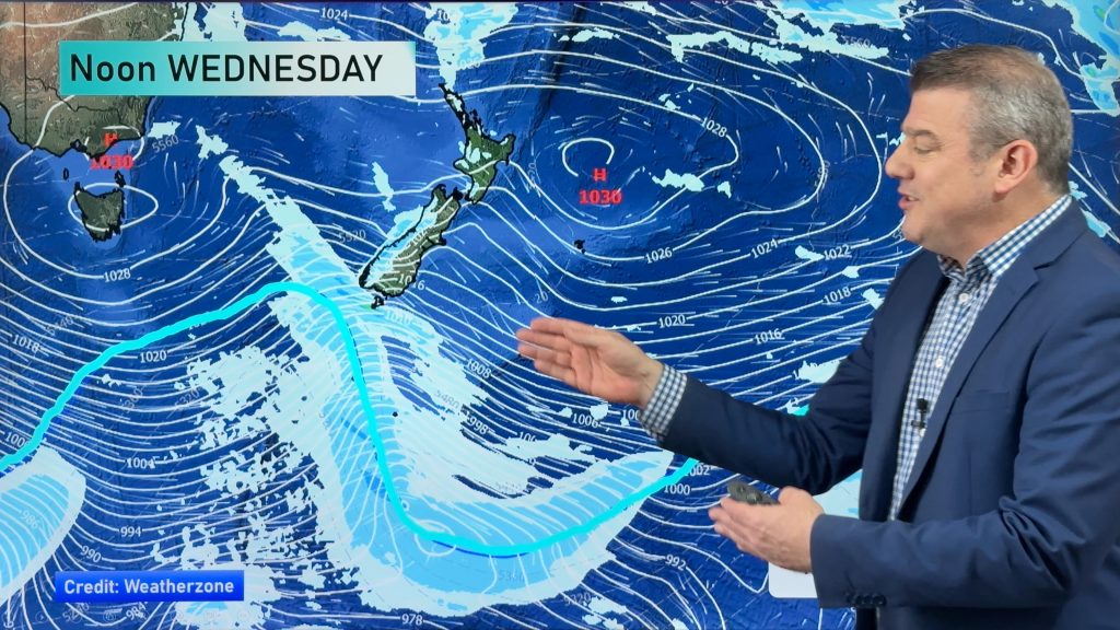
On the leading edge of this windier, cooler and wetter air mass is a cold front. This front is expected to be the focus for some showers on Tuesday as it moves from south to north across the South Island.
That means rain chances will go up for much of the SI during the day on Tuesday. The far northern sections may not see anything until evening though.
The unsettled weather will then spread to the North Island on Wednesday, and then sticking around on both islands right into next weekend.
No heavy falls are expected next week with the exception of a few pockets of heavier rain down about Fiordland. If that happens, that would be Tuesday morning. Winds are not expected to reach gale force.
But between the wind, the rain and the cooler temperatures…it will feel more like autumn for most of us than it has all season.
Photo by Zelda Wynn
By WeatherWatch Analyst Howard Joseph
Comments
Before you add a new comment, take note this story was published on 8 Apr 2012.


Add new comment
sw on 8/04/2012 2:21am
No mention of Aucklands constant wind,Weatherwatch needs to improve wind accuracy its already strong SSW here not 5 kmph S
Reply