> From the WeatherWatch archives
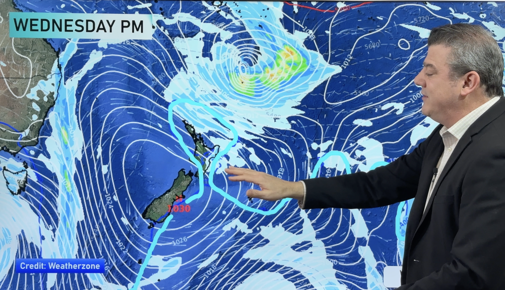
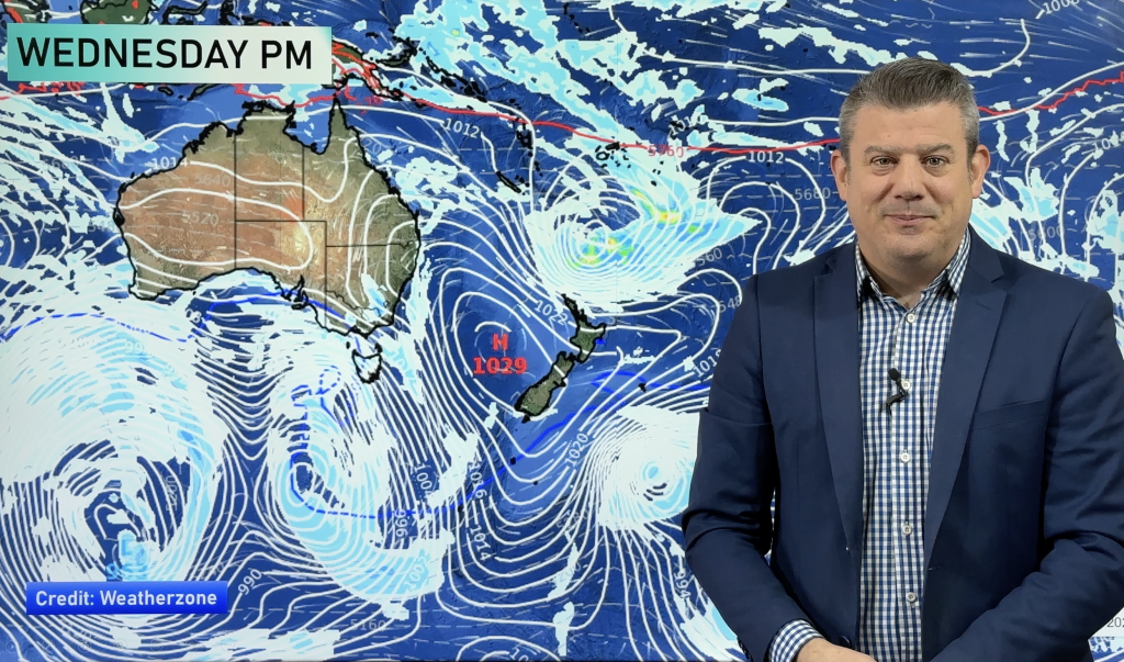
A northwesterly airflow builds over the country on Thursday, a front pushes onto the lower South Island in the evening then moves further north overnight.
For the west of the North Island we see sunny spells with northwesterly winds, perhaps a chance of fog again to start the day about the Waikato. Taranaki southwards in the west is looking fairly cloudy, perhaps even the chance of a light shower or two otherwise mainly dry.
The east coast has sunny weather with gentle northwesterlies, a touch of high cloud about the Wairarapa. Wellington has mostly cloudy skies, northwesterlies gusting to gale at times from midday.
The South Island sees sunny areas and thickening high cloud in the east, northwesterly winds a little breezy about inland areas. Cloudy on the West Coast with the odd light shower, rain pushes onto South Westland late afternoon / evening becoming heavy then pushing northwards overnight.
Southland and Otago sees thick high cloud, a few spots of rain possible in the evening.

– Aaron Wilkinson, WeatherWatch.co.nz
Comments
Before you add a new comment, take note this story was published on 31 Aug 2016.


Add new comment