> From the WeatherWatch archives
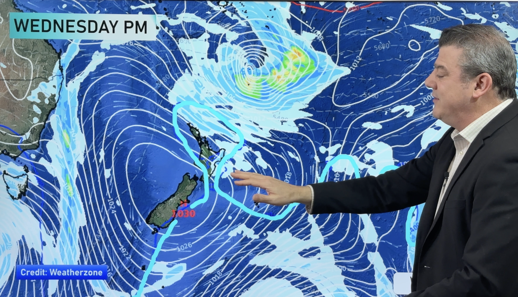
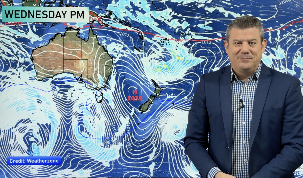
A little bit of cloud and maybe the odd shower but that’s about the extent of any talking points relating to New Zealand’s weather during today says the Weather Watch Centre. Head weather analyst Philip Duncan says a large high will form over the nation during the day and by Monday it will hold a firm ridge over the country. “A weak front moving up the country during Sunday will fall apart under pressure from the high and by tomorrow all of New Zealand will be calm”.
Duncan says plenty of humidity is trapped under the high from yesterday’s warm northerly air stream. “That means more moisture in the air so fog and mist patches are likely along with plenty of condensation inside your windows if you don’t have air conditioning”.
Last weekend’s polar blast is now a distant memory as warm northerlies pushed temperatures into the late teens and early twenties during Saturday, blowing any remaining Antarctic air out into the Pacific Ocean. “The air mass over much of the country is certainly a damper but warmer one. While overnight lows will dip tonight to more like last weeks overnight temperatures frosts will be much lighter and less widespread”.
Another low is likely to form in the Tasman Sea next week increasing nor’easters over northern New Zealand.
“No cold snaps bringing snow in the next week…and with the days now getting longer that could possibly solidify last weekends storm as the coldest snap of 2008”
Mr Duncan says warmer weather will spread over the North Island during mid August with the South Island warming up during September and October. “Snow and frosts are very likely to return over the coming 8 to 12 weeks but the severity does usually ease from now on, especially over the top quarter of New Zealand”.
Comments
Before you add a new comment, take note this story was published on 12 Jul 2008.


Add new comment