STORM ALERT : AND THE WINDS KEEP GETTING STRONGER, FLOODING RAINS NOW ‘SET IN’
9/07/2007 12:00pm

> From the WeatherWatch archives
“There are likely to be slips, power outages, flooding and trees down. Residents in the top half should be on High Alert right now and overnight”
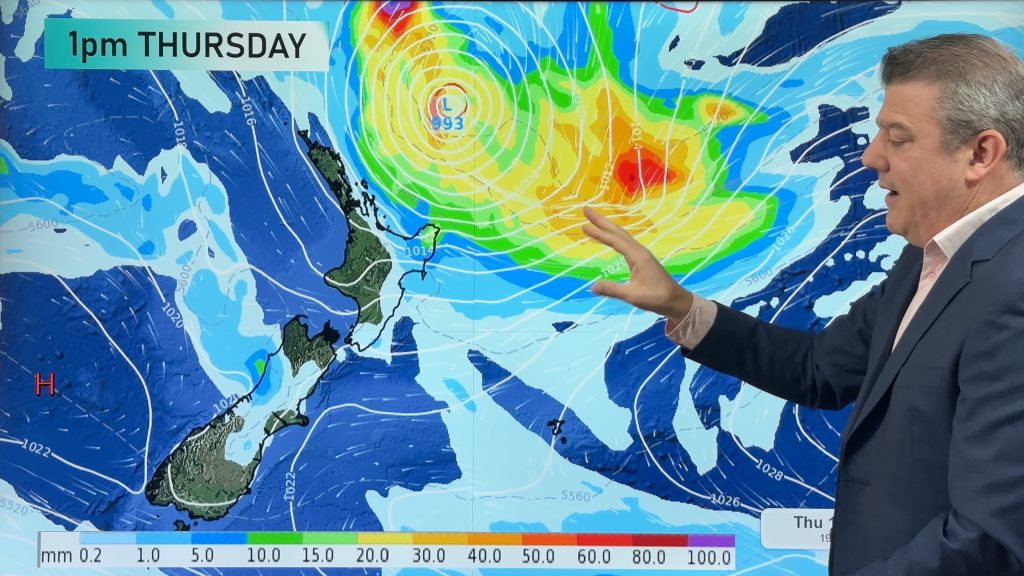
Severe gales are pounding the top half of New Zealand and the winds are getting stronger, according to Philip Duncan – TRN’s Head Weather Analyst.
“At Tutukaka winds are now being clocked at 145km/h…that’s a 20km/h increase from just two hours ago”. Winds are also reaching 145km/h across the Hauraki Gulf and up to 100km/h within Auckland Harbour. Although winds are still only reaching 70km/h in Auckland City, that is expected to increase over the coming hours and tonight.
“The strongest winds are now moving down Northland… they’ll probably peak this afternoon and overnight for most places before easing very slowly during Wednesday and Wednesday night”.
Mr Duncan says the “eye” of the storm is near Cape Reinga now and rain and winds have dramatically eased in what he calls the “false calm” near the centre.
ITS GOING TO BE A ROUGH NIGHT
With severe gales and torrential rain, it’s going to be a long night for many places. Coromandel Peninsular is now seeing an increase in rain. Heavy winds are now buffeting the Eastern Waikato and Hauraki Plains with gusts recorded at 100km/h in Paeroa however that is expected to dramatically increase later this afternoon or tonight in places like Te Aroha.
“Flooding rains and damaging winds have set in for the day. For Northland residents, especially around Kaikohe, the rain has been torrential today and there’s no sign of it easing until later tomorrow”.
“There are likely to be slips, power outages, flooding and trees down. Residents in the top half of New Zealand should be on high alert for the next 20 to 24 hours”.
Mr Duncan warns this storm has all the punch of tropical cyclones that have made it this far South. “This is right up there with Cyclone Fergus and Drena which caused damage back in the Summer of 1996/97”. That Summer was also during the wetter La Nina weather conditions. Mr Duncan says the recent storms are a strong indication that La Nina is now on its way.
CHANGES IN THE SOUTH AND CENTRAL PARTS OF NZ
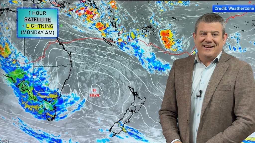
The deep low in the north is now competing with the strong high over the South. That means winds are now picking up right across the country. Wellington is now getting gusts up 60km/h with gales on Mt Kaukau. In Christchurch bitterly cold south easterlies have picked up keeping temperatures down around 5 with the ’feels like’ temperature below zero. “Frosts now aren’t likely for coastal regions thanks to some wind and cloud or showers being dragged in by a southerly”. Mr Duncan says there is still a likelihood of frosts in Central Otago tonight.
Comments
Before you add a new comment, take note this story was published on 9 Jul 2007.


Add new comment