> From the WeatherWatch archives
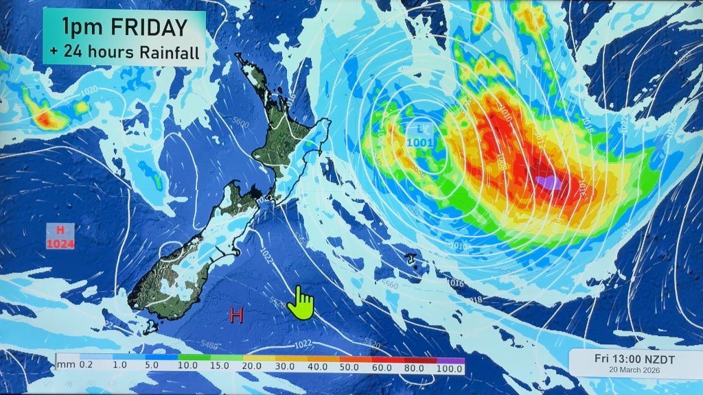
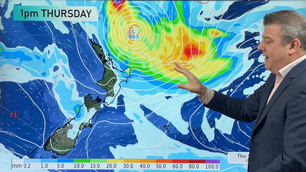
Tropical storm drenching Auckland/Northland/Coromandel.
Wairarapa/Southland/Manawatu/Waikato drought farmers “continue to stay optimistic”
It’s been raining solidly since last night across Northland, Auckland and Coromandel Peninsula and it’s not likely to ease anytime soon. A tropical low west of Northland is dragging saturated air from south of Fiji and eastern part of northern New Zealand could see another 12 to 24 hours of heavy rain. “The heavy rain has now eased in the far north but could return overnight. Meanwhile Kaikohe, Whangarei and eastern towns in the Coromandel Peninsula are receiving very heavy, persistant rain this afternoon and that will last well into the night”.
Auckland was battered by gales overnight but winds have died back slightly today. “We’re still getting gusts over over 110km/h out in the gulf, but onland it’s now really only gusting to about 70km/h. Some parts of the city have received about 50mm of rain since the early hours of this morning and the rain isn’t expected to ease until Sunday morning”.
Rain is making it into parts of Waikato too with northern and western regions receiving rain off an on today, however Duncan says the Kaimai and Coromandel ranges are blocking most of that rain from reaching eastern Waikato.
Very humid, warm, conditions are expected over northern New Zealand tomorrow with drizzle patches possible during the Starlight Symphony in Auckland.
The tropical low is expected to merge with 2 other lows in the Southern Ocean over the next day or two creating a “super low” that will cover a huge area south of New Zealand. “It will certainly be one of the biggest lows on the planet but luckily it will really stay well anchored in the Southern Ocean. Fishing boats in Southland could see some massive seas with swells over 10 metres possible out to sea as the air pressure drops to 950 possibly 940 hector pascals south of New Zealand”.
The low is expected to bring showery weather next week to Southland, while dry farms in Manawatu and Wairarapa will see very little in the way of rainfall over the next 10 days. Duncan says farmers should continue to stay optimistic. “While dry farms from Waikato to Southland aren’t going to see drought breaking rains with this system, it is still more proof that the weather patterns are definitely changing and those stubborn highs have now lost their control over the nation”.
Comments
Before you add a new comment, take note this story was published on 22 Feb 2008.


Add new comment