Snow likely on Thursday for parts of the lower South Island
17/06/2015 12:42am

> From the WeatherWatch archives
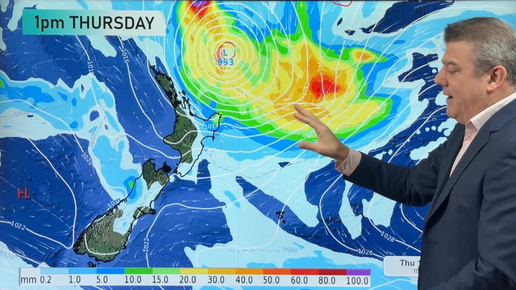
Updated 12:42pm — Our models have been fairly consistent for the last few days, showing that conditions are ripe to produce some heavy localised snowfall in parts of the South Island on Thursday.
With that being said, it’s not looking overly dramatic from what we see, and we wanted to bring our readers a likely outlook for what we’re expecting across the south.
Rain is likely to set in for Dunedin with snow possible later in the day as the freezing level lowers – turning rain to snow.
Following recent flooding in Dunedin news of more rain may be concerning to authorities – keep up with our latest detailed Dunedin forecasts here: www.weatherwatch.co.nz/forecasts/dunedin
This coldest weather is limited to the south…further north in Christchurch temperatures will be higher: www.weatherwatch.co.nz/forecasts/christchurch
Southland
It’s looking wet across most of Southland from overnight Wednesday until early Thursday morning.
Snow looks likely to 600m at first, then lowers to 100m by midday.
It should stick at that level until late evening, then lift – with rain and snow easing.
Coastal Otago
Areas of rain move in early on Thursday morning, looking very similar to Southland.
Snow to 500m lowers to 100m by midday, and sticks at that level until late at night.
Snow levels then lift to 800m overnight, and the rain and snow ease considerably before clearing by dawn.
15 to 20cm to 100m, 20 to 25 to 500m, 30 to 40cm above 600m.
Central Otago
The air isn’t as cold further inland, but Central Otago looks to get hit too – as the land of course is higher up.
Rain showers develop in the morning, before easing later in the evening.
Snow looks likely to around 700m first thing in the morning, then lowering to 300m by midday, and staying at that level until later in the evening.
Snow should then rise above 800m overnight, with precipitation easing.
35 to 45cm of snow above 700m, with a chance that 50 to 60cm could fall on slopes exposed to the south or southeasterly airflow, and 20 to 25cm down to 300m.
South Canterbury
Rain doesn’t move in until midday Thursday, then easing overnight.
Snow to 500m lowering to 400m (perhaps 300m at a stretch but most likely no lower) in the afternoon.
Levels lifting above 800m overnight, with precipitation clearing around dawn on Friday.
15 to 20cm is likely down to about 500m, and 10 to 15cm down to 400m.
Mid Canterbury
Rain will be falling from around midday – much like South Canterbury – but will not ease until dawn on Friday – then clearing on Friday morning.
Snow will fall to 800 or perhaps 700m from afternoon, then lifting above 1000m overnight.
20 to 25cm likely down to 800 or 700m, 30 to 35cm above 1000m.
North Canterbury
Most snow will stay above about 1000 / 1200m behind the Oxford and Waipara area.
Snow may fall at that level about the Kaikoura mountains, (ski fields including Hanmer and Lyford too), but it won’t be as long, and there’s not much likely – and then the snow level lifts even higher overnight.
Arthurs Pass and Porters Pass are the most likely to see action, though they will be just under the snow level.
Stay up to date with our forecasts and observations as they come through here on WeatherWatch.co.nz.
– Aaron Wilkinson & Drew Chappell
Comments
Before you add a new comment, take note this story was published on 17 Jun 2015.


Add new comment
Heather Miller on 17/06/2015 10:12am
Should I be concerned that flights will be cancelled tomorrow morning in and out if Momona airport
because international flights ex Auckland later tomorrow
Reply
John on 17/06/2015 3:52am
I’m quite curious how this weather will play out tomorrow. Looking at surface wind map forecasts on another site it looks to be mostly north easterly winds affecting Queenstown area. It is quite a different scenario than the usual direct southerly blast with long straight isobars rising from the direction of Antarctica. It looks pretty messy weather conditions will arrive all the same but I’ll be most interested to see what amount of snow it brings.
Reply
Pete on 17/06/2015 1:18am
I think you guys are being very conservative with this forecast
Reply
Guest on 17/06/2015 1:12am
Do you think we will gt any snow here in invercargill? I moved down here 3 years ago and am yet to experience a winter wonderland 🙂
Reply
WW Forecast Team on 17/06/2015 2:57am
It’s possible but not looking as likely. Invercargill may be just too low down being right at sea level. But head just inland above 50 to 100m and then you may be hit.
But the weather isn’t an exact science and the difference required in temperature for the snow to fall an extra 50 to 100m wouldn’t be much so it is possible, but still not what we see currently.
Cheers
Aaron
Reply
Cooper on 16/06/2015 11:27pm
Good to see WeatherWatch isn’t going with the general consensus of Metservice, BlueSkies etec etc who have all said the snowline for Mid-Canterbury will be around 300-400m on Thursday night lol
Reply
Guest on 16/06/2015 7:28pm
What are snow depths looking like for Southland?
Reply
WW Forecast Team on 17/06/2015 2:54am
Very similar to elsewhere for Otago as mentioned above.
Reply