> From the WeatherWatch archives
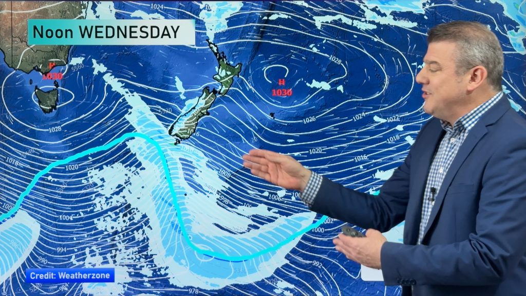
Wednesday is shaping up for a drop in the temperatures around the country – with most regions looking at showers for at least part of the day.
A cold southwesterly airflow lies over the country, which will bring a cool change to most places – and more serious risks for parts of the South Island.
Hail and snow are possible down to 400 or 300m in the eastern part of the South Island and along the ranges, and some of that hail could fall as low as sea level overnight too – but the weather won’t be sustained or long lasting.
For more details and specifics for the rest of the week, don’t forget to check out Philip Duncan’s latest weather video, here.
– Aaron Wilkinson & Drew Chappell, WeatherWatch.co.nz
– Photo: Chris Johnson
Comments
Before you add a new comment, take note this story was published on 28 Jul 2015.


Add new comment