> From the WeatherWatch archives
BUT WARMTH FOR NZ LATER IN THE WEEK…
The deep low that has brought snow, squally showers, and gales to many parts of the country over the past 5 days is this morning still continuing to affect us.
Our South Island Weather Analyst Richard Green has just confirmed that sleet is now falling in Christchurch as winds shift to allow the bitterly cold weather to spread up the east coast of the South Island. “Yesterday, warm, sunny skies greeted a number of people across the Plains but snow is forecast to low levels today, as the south west winds turn to a more bone-chilling southerly and affect the eastern side of both islands”.
Mr Green says the frontal system is expected to steadily move north today with snow also falling to relatively low levels in the North Island too. Snow may fall on the Desert Road tonight and even the Rimutaka Ranges, however snow falls aren’t likely to be heavy enough to stop traffic.
Many places along the east coast of both islands will struggle to reach above double digits today or tomorrow.
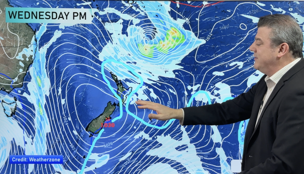
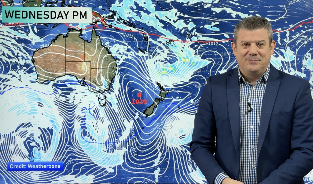
But Head Weather Analyst Philip Duncan says warmth is definitely on the way later this week. “Firstly we have a high moving over the country for a couple of days during the middle of the week. This high has a lot of low cloud trapped in it so most places wont have a glorious week but it will kill that blustery wind”
“The main focus is the third consecutive low developing off the Australian east coast. As this high moves off New Zealand around Friday the low is likely to push against it…bringing a strong, warm northerly flow across most of the country”.
Mr Duncan says places in the north could return to daytime highs over 17 or 18 this weekend.
Comments
Before you add a new comment, take note this story was published on 24 Jun 2007.


Add new comment