> From the WeatherWatch archives
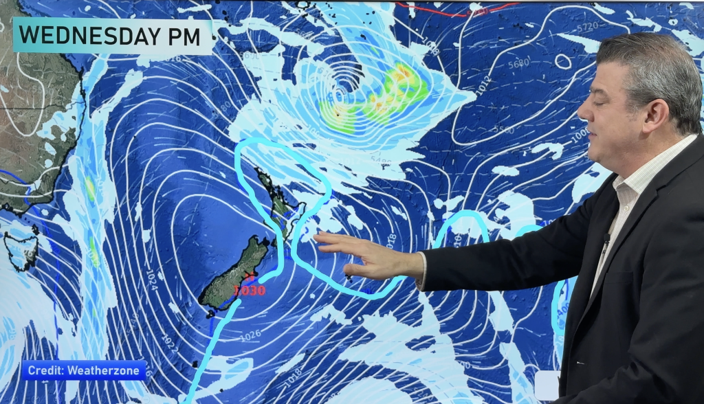
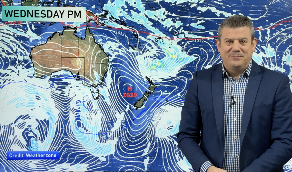
Not too much to speak of in the weather risk department today, though a low in the Tasman Sea will move closer to the country, which is still very much under the influence of that easterly airflow.
Showers will persist along the Southern Alps from Fiordland through to Hokitika, and there’s a chance these could become heavy and thundery at times in the afternoon, before easing in the evening.
A few places around the middle of the country (Marlborough, Nelson, Wellington and the western North Island) are looking at some evening showers as well.
Other than that, though – there’s nothing too serious to speak of for Friday.
– Aaron Wilkinson & Drew Chappell, WeatherWatch.co.nz
– Map: Google
Comments
Before you add a new comment, take note this story was published on 29 Jan 2015.


Add new comment